
Existed: 1917 – present North end: AR 41 Constructed 1917 | Length 66.6 km | |
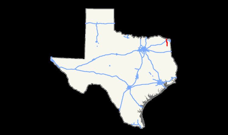 | ||
State Highway 8 or SH 8 is a north–south state highway that runs from the Red River, the Texas-Arkansas boundary, north of New Boston to SH 155 at Linden.
Contents
Map of TX-8, Texas, USA
History
SH 8 was one of the original twenty six state highways proposed in 1917, proposed as an 'East Texas Highway.' In 1919 the routing follows the present day SH 8 from the Arkansas State Line to its terminus in Linden, then continued south on present day U.S. Highway 59 through Marshall, to Carthage. On U.S. Highway 96, SH 8 traveled through San Augustine, Jasper to its junction with SH 62, where it turned towards its terminus in Orange.
In 1922 SH 8 was rerouted from Buna to Beaumont and into Port Arthur via present day US 96. The Buna-Orange section became SH 62 by 1926.
In 1926, US 59 and 96 were co-located over pieces of SH 8. While the entirety of the route maintained its number, by 1939 the co-designations were dropped, leaving only the Arkansas-Corley segment to the old highway. In 1947 a small segment was reassigned back to SH 8 from US 59 from Corley to Linden when US 59 was rerouted further east.
SH 8 was rerouted around the western side of Linden in 1964, with the old route becoming FM 125.
SH 8A was an alternate routing added just east of SH 8 from Center to Orange in 1919. By 1926, it had been renumbered as SH 87. SH 8A was reassigned as a spur from SH 8 to Gary. By 1933, this was renumbered as SH 181 (now FM 999).
SH 8B was a spur route going from St. Augustine south to Zavalla as a replacement for SH 40A. By 1931, this route was renumbered as SH 147.
Route description
SH 8 begins on the south side of the city on Linden at an intersection with SH 155, less than a quarter of a mile west of its intersection with US Route 59 (Future Interstate 369). The highway travels north through northern Cass County, crossing over Wright Patman Lake into Bowie County. The highway briefly turns west with US Route 67 when they intersect in Maud. The route then turns back north, running along the western edge of the Red River Army Depot. It then passes through the city of New Boston and intersects Interstate 30. The route then continues north, crossing the Red River, and the Arkansas State Line, where it becomes Arkansas Highway 41.