
Country United States FIPS code 48-65024 Elevation 113 m Population 2,097 (2013) Area code 936 | Time zone Central (CST) (UTC-6) GNIS feature ID 1383177 Zip code 75972 Local time Saturday 7:30 AM | |
 | ||
Weather 13°C, Wind SE at 3 km/h, 100% Humidity Area 12.43 km² (12.17 km² Land / 26 ha Water) | ||
San Augustine is the county seat city of San Augustine County, Texas, in East Texas, United States. The population was 2,108 at the 2010 census.
Contents
- Map of San Augustine TX 75972 USA
- Copy of san augustine texas the place
- History
- Geography
- Climate
- Demographics
- Education
- Notable people
- References
Map of San Augustine, TX 75972, USA
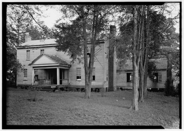
Copy of san augustine texas the place
History
The first European settlement in the area began in 1717 with the establishment of Mission Nuestra Señora de los Dolores de los Ais by Spanish Missionaries. The mission was abandoned and reestablished in 1721. It lasted until 1773 and is now preserved as Mission Dolores State Historic Site
The town began in 1832 with land owned by Thomas S. McFarland. The town was named after the Presidio de San Agustín de Ahumada, which had been named in honor of the (1755–1760) Viceroy of New Spain, Don Agustín de Ahumada y Villalón.
Geography
San Augustine is located at 31°31′52″N 94°06′39″W (31.531086, −94.110971).
According to the United States Census Bureau, the city has a total area of 4.8 square miles (12 km2), of which 4.7 square miles (12 km2) is land and 0.1 square miles (0.26 km2) (2.08%) is water.
Climate
The climate in this area is characterized by hot, humid summers and generally mild to cool winters. According to the Köppen Climate Classification system, San Augustine has a humid subtropical climate, abbreviated "Cfa" on climate maps.
Demographics
As of the census of 2000, there were 2,475 people, 859 households, and 573 families residing in the city. The population density was 525.2 people per square mile (202.9/km2). There were 1,076 housing units at an average density of 228.3/sq mi (88.2/km2). The racial makeup of the city was 37.82% White, 57.94% African American, 0.08% Native American, 0.69% Asian, 3.07% from other races, and 0.40% from two or more races. Hispanic or Latino of any race were 5.13% of the population.
There were 859 households out of which 29.8% had children under the age of 18 living with them, 37.3% were married couples living together, 26.0% had a female householder with no husband present, and 33.2% were non-families. 30.5% of all households were made up of individuals and 17.0% had someone living alone who was 65 years of age or older. The average household size was 2.57 and the average family size was 3.23.
In the city, the population was spread out with 26.9% under the age of 18, 8.1% from 18 to 24, 22.6% from 25 to 44, 19.7% from 45 to 64, and 22.7% who were 65 years of age or older. The median age was 38 years. For every 100 females there were 80.4 males. For every 100 females age 18 and over, there were 67.6 males.
The median income for a household in the city was $25,489, and the median income for a family was $33,203. Males had a median income of $23,750 versus $17,628 for females. The per capita income for the city was $14,918. About 19.1% of families and 24.7% of the population were below the poverty line, including 35.0% of those under age 18 and 30.7% of those age 65 or over.
Education
The city of San Augustine is served by the San Augustine Independent School District.