
Existed: 1926 – present Constructed 1926 | Length 138.9 km | |
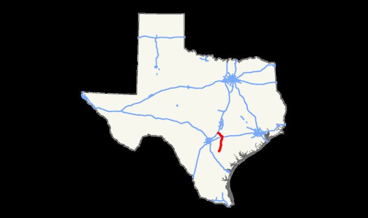 | ||
State Highway 80 (SH 80) is a state highway in the U.S. state of Texas that runs 83 miles (134 km) from Karnes City to San Marcos.
Contents
Map of TX-80, Texas, USA
History
The original highway was designated in 1926 from San Marcos to Luling. By 1928, SH 80 extended to Wimberley. By 1933, SH 80 had a planned extension south to Nixon. This absorbed all or portions of previously designated SH 29A and SH 21. By 1940, the route to Nixon had been completed, with the highway extended further south to Karnes City over former SH 112. In 1942, the section from Wimberley to San Marcos was transferred to Ranch to Market Road 12.
In 2010, RM 12 was shifted to an alignment south of San Marcos, and the SH 80 designation was extended through the city to a terminus with RM 12 west of the city.
References
Texas State Highway 80 Wikipedia(Text) CC BY-SA