
Existed: by 1926 – present | Northwest end: US 277 Length 160 km | |
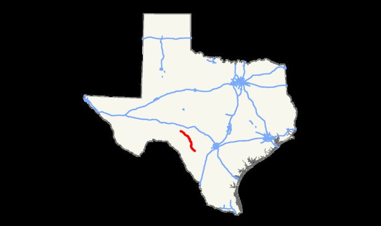 | ||
State Highway 55 is a state highway in the U.S. state of Texas. It runs from Uvalde northwestward through the western Hill Country onto the Edwards Plateau, ending south of Sonora.
Contents
Map of TX-55, Texas, USA
History
SH 55 was designated from Rocksprings to La Pryor. In 1928, it extended south through Catarina and then east to Artesia Wells. By 1931, SH 55 was rerouted through Batesville to Dilley, as the route from Uvalde to Artesia Wells was renumbered as SH 4. Also, SH 55 extended north to its current terminus. The portion from Uvalde to just south of Batesville was constructed through the mid-1940s, but was cancelled in 1945 and transferred to FM 117.
References
Texas State Highway 55 Wikipedia(Text) CC BY-SA