
Country United States FIPS code 48-20428 Elevation 171 m Zip code 78017 Local time Tuesday 12:44 PM | Time zone Central (CST) (UTC-6) GNIS feature ID 1356027 Area 6.1 km² Population 4,070 (2013) Area code 830 | |
 | ||
Weather 24°C, Wind NE at 11 km/h, 75% Humidity | ||
Mothers protest inside an american refugee camp dilley texas
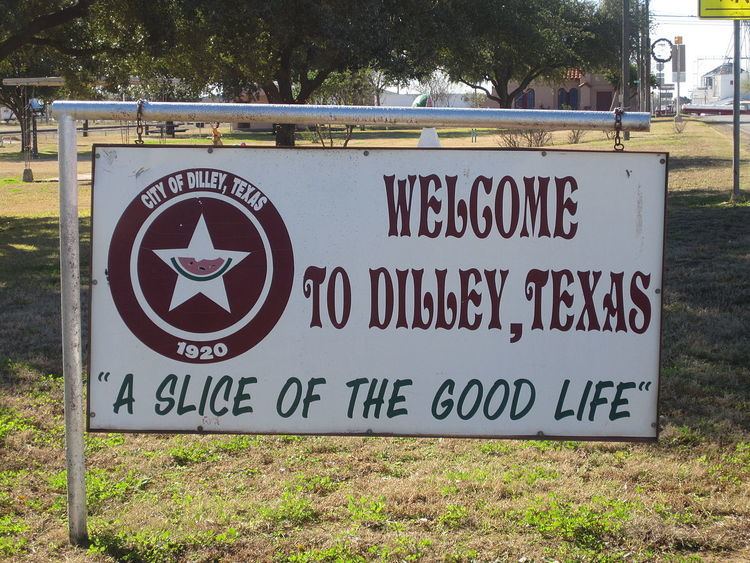
Dilley is a city in Frio County, Texas, United States. The population was 3,894 at the 2010 census. It is located off Interstate 35 south of the county seat in Pearsall.
Contents
- Mothers protest inside an american refugee camp dilley texas
- Map of Dilley TX 78017 USA
- Eagle ford village in dilley texas
- Geography
- Demographics
- Education
- Climate
- References
Map of Dilley, TX 78017, USA
Eagle ford village in dilley texas
Geography
Dilley is located in southern Frio County at 28°40′15″N 99°10′11″W (28.670824, -99.169820). Interstate 35 bypasses the city on the west, with access from Exits 82 through 86. I-35 leads northeast 71 miles (114 km) to San Antonio and south 83 miles (134 km) to Laredo. Pearsall, the county seat, is 16 miles (26 km) to the north. Texas State Highway 85 passes through the center of town as Leona Street, leading northeast 49 miles (79 km) to Pleasanton and west 58 miles (93 km) to Carrizo Springs.
According to the United States Census Bureau, Dilley has a total area of 2.4 square miles (6.1 km2), all of it land.
Demographics
As of the census of 2000, there were 3,674 people, 955 households, and 727 families residing in the city. The population density was 1,574.3 people per square mile (608.8/km²). There were 1,158 housing units at an average density of 496.2 per square mile (191.9/km²). The racial makeup of the city was 66.93% White, 10.40% African American, 0.57% Native American, 0.76% Asian, 18.81% from other races, and 2.53% from two or more races. Hispanic or Latino of any race were 72.24% of the population.
There were 955 households out of which 42.1% had children under the age of 18 living with them, 49.7% were married couples living together, 20.0% had a female householder with no husband present, and 23.8% were non-families. 21.9% of all households were made up of individuals and 9.2% had someone living alone who was 65 years of age or older. The average household size was 3.00 and the average family size was 3.47.
In the city, the population was spread out with 27.9% under the age of 18, 13.0% from 18 to 24, 35.5% from 25 to 44, 14.9% from 45 to 64, and 8.8% who were 65 years of age or older. The median age was 29 years. For every 100 females there were 145.8 males. For every 100 females age 18 and over, there were 166.9 males.
The median income for a household in the city was $19,540, and the median income for a family was $22,021. Males had a median income of $26,825 versus $13,229 for females. The per capita income for the city was $20,475. About 32.6% of families and 35.8% of the population were below the poverty line, including 42.5% of those under age 18 and 31.3% of those age 65 or over.
Education
The city is served by the Dilley Independent School District. The Dilley Independent School District has three schools: Dilley Elementary, Mary Harper Middle School, and Dilley High School.
Climate
The climate in this area is characterized by hot, humid summers and generally mild to cool winters. According to the Köppen Climate Classification system, Dilley has a humid subtropical climate, abbreviated "Cfa" on climate maps.