
Existed: 1919 – present Length 207.6 km | SH 306 SH 307 → Constructed 1919 | |
 | ||
Counties | ||
State Highway 34 is a route that runs from Honey Grove to Italy just east of the Dallas/Fort Worth Metroplex.
Contents
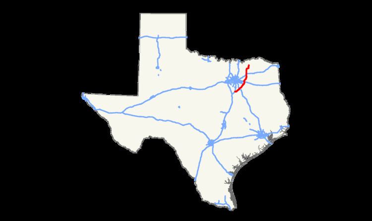
Map of TX-34, Texas, USA
History
SH 34 was originally proposed in 1919 as a loop around Dallas, starting in Ft. Worth travelling southeast to Waxahachie, then northeast to Terrell. By 1922,SH 34 extended northeast to Cooper. By 1926, the section northeast of Greenville had been transferred to SH 39. By 1928, the western end had been extended through Ft. Worth to near Jacksboro. By 1933, the eastern end had been extended north to Honey Grove over former SH 38.
In 1939, the section from Jacksboro to Ennis was removed from SH 34, becoming parts of U.S. Highway 287 and SH 199. It was instead routed farther southwest into Italy, replacing State Highway 306.
In or around 1945, the section from Kaufman to Ennis was re-routed through Scurry, south of Rosser, and on a new bridge over the Trinity River. The former route from Scurry to Peeltown (Kaufman County) was assigned to an extension of Farm to Market Road 148, and about a mile of the old route is now Farm to Market Road 1181 in Telico (Ellis County). The old bridge over the Trinity River no longer exists [2]; in addition, the replacement bridge (a narrow, two-lane truss bridge) was replaced with a wider, traditional span.In 1987, SH 34 extended north from US 77 to IH 35E, replacing FM 1134.
A bypass around the city of Terrell was completed in early 2014. Construction began in October 2014 on a bypass around the city of Kaufman, with construction lasting approximately 22 months.
Route description
SH 34 begins at I-35E in the community of Italy. The highway runs southeast through the town to US 77 before turning in a more east direction. Near Avalon, the highway turns to the northeast and runs through the community of Bardwell before crossing Lake Bardwell. After crossing the lake, SH 34 enters Ennis and intersects US 287. The highway shares overlaps with the business routes of I-45 and US 287 in the city and leaves the city after intersecting I-45.
After crossing the Trinity River, SH 34 enters Kaufman County and runs near the communities of Scurry and Rosser before entering Kaufman. The highway intersects US 175 and shares an overlap with SH 243 in the city. Leaving the city, SH 34 runs in a sharp northeast direction for a few miles, turning north in Oak Ridge. In southern Terrell, the highway intersects I-20, which is the sight of a Tanger Outlet Center. Near Terrell Municipal Airport, SH 34 runs along a new alignment, bypassing the downtown area of the city and crosses over US 80. Leaving Terrell, the highway runs by many farms before turning more north and running near the western shore of Lake Tawakoni. In Quinlan, the highway shares a short overlap with SH 276 and crosses near an inlet of Tawakoni north of the town.
Entering Hunt County, SH 34 runs in a straight north direction. The highway enters Greenville and intersects I-30/US 67, which used to be a cloverleaf interchange. Shortly after intersecting US 69/US 380, SH 34 overlaps with a business route of US 69 through the city's downtown area. Leaving the city, the highway serves as the western terminus for SH 224. North of Wolfe City, the highway makes a sharp turn and runs east for a few miles before turning back north in Ladonia. SH 34 intersects SH 56 in Honey Grove before terminating at US 82 just north of the town.