
Surface area 36,700 acres (149 km) | Basin countries United States | |
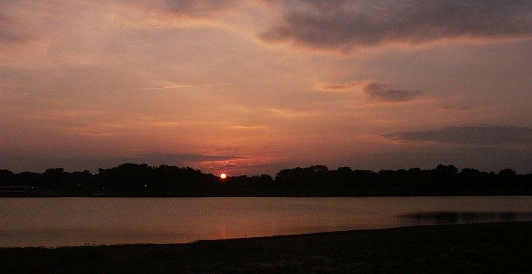 | ||
Lake Tawakoni is a is a 37,879-acre reservoir located in Northeast Texas approximately 45 miles (85 km) east of Dallas, Texas. It lies within three Texas counties, Hunt, Rains, and Van Zandt. It is used for water supply and recreation. It is under the Sabine River Authority and the original headwaters of the Sabine are converged under the lake surface.
Contents
EtymologyEdit
The Lake was named for the Tawakoni native american peoples, who were a larger part of the Caddo Indian nation. The Caddos inhabited a large swath of North and East Texas including where the lake is currently.
HistoryEdit
The reservoir was constructed in 1960 with the Iron Bridge Dam. The area was chosen due it's location to the growing Dallas area and the growth east of the city and it's respective suburbs. The South Fork, Cowleech Fork, and Caddo Forks that all formed the Sabine River headwaters are now submerged under the lake and the Lake now serves as the headwaters of the Sabine. It covers 36,700 acres (149 km²) and has a storage capacity of 926,000 acre feet (1.142×10⁹ m3) at conservation pool level. It is owned by the Sabine River Authority of Texas.
Flora & FaunaEdit
The Lake has a diverse array of wildlife. It features deer, feral hogs, snakes, raccoons, bobcats, and over 200 species of birds. Sightings of the American alligator in certain areas of the lake have not been uncommon. The lake mainly has post oak hardwood timber and plants native to the Texas Blackland Prairies. In the summer of 2007 Lake Tawakoni State Park was the site of a large, rare spider web. The web stretched over a 200-yard path and attracted considerable attention from entomologists.