
 | ||
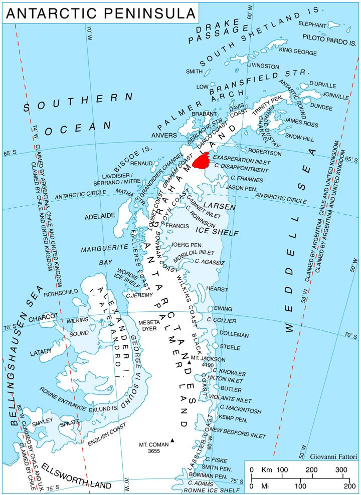
Tepava Ridge (Bulgarian: хребет Тепава, ‘Hrebet Tepava’ \'hre-bet te-'pa-va) is the narrow rocky ridge extending 7.55 km towards Sandilh Point to the east, 1.6 km wide, and rising to 600 m in eastern Aristotle Mountains on Oscar II Coast in Graham Land. It surmounts to the north and south the branches of Pequod Glacier flowing into Exasperation Inlet and Durostorum Bay respectively. The feature is named after the settlement of Tepava in Northern Bulgaria.
Contents
Location
Tepava Ridge is located at 65°29′54″S 62°01′58″W. British mapping in 1976.
Maps
References
Tepava Ridge Wikipedia(Text) CC BY-SA