
 | ||
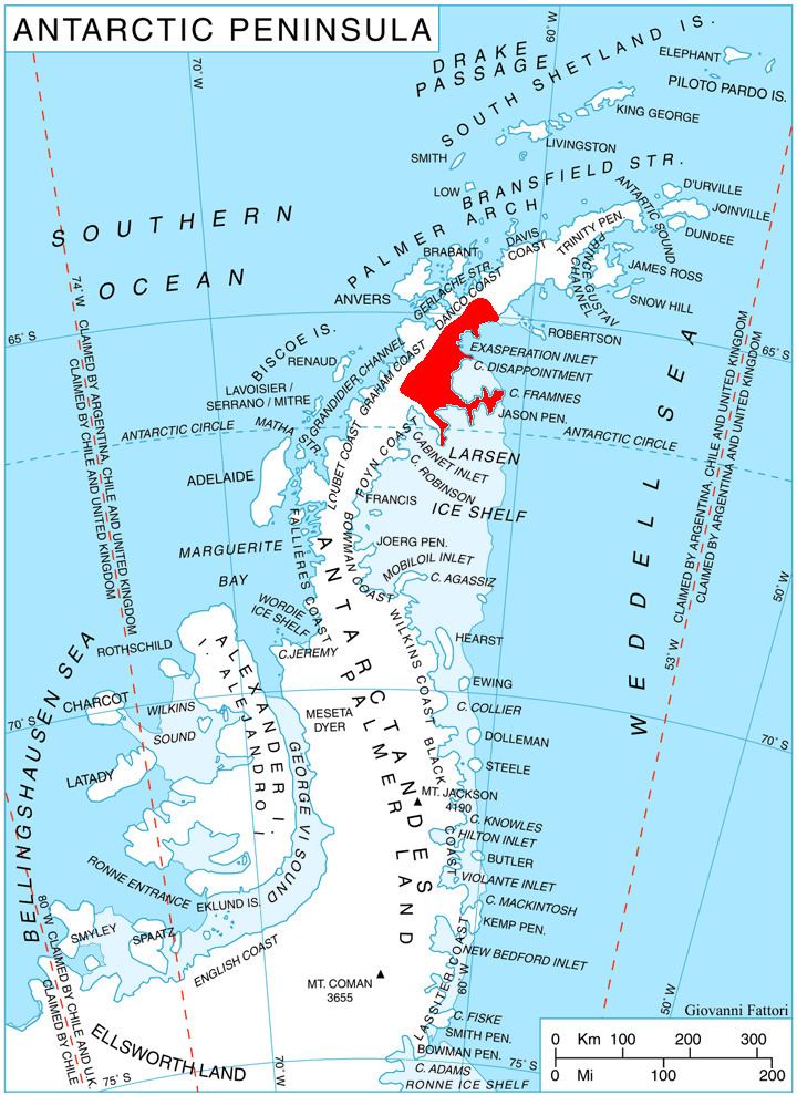
Durostorum Bay (Bulgarian: залив Дуросторум, ‘Zaliv Durostorum’ \'za-liv du-ro-'sto-rum) is the 6.7 km wide bay indenting for 3.9 km Oscar II Coast in Graham Land southeast of Sandilh Point and northwest of Ranyari Point. It is part of Exasperation Inlet, formed as a result of the break-up of Larsen Ice Shelf in the area and the retreat of Pequod Glacier in the early 21st century. Named after the ancient town of Durostorum in Northeastern Bulgaria.
Contents
Location
Durostorum Bay is located at 65°31′40″S 61°53′50″W. SCAR Antarctic Digital Database mapping in 2012.
Maps
References
Durostorum Bay Wikipedia(Text) CC BY-SA