
Width 44 km (27 mi) NW-SE Elevation 1,650 m | Length 62 km (39 mi) SW-NE Continent Antarctica | |
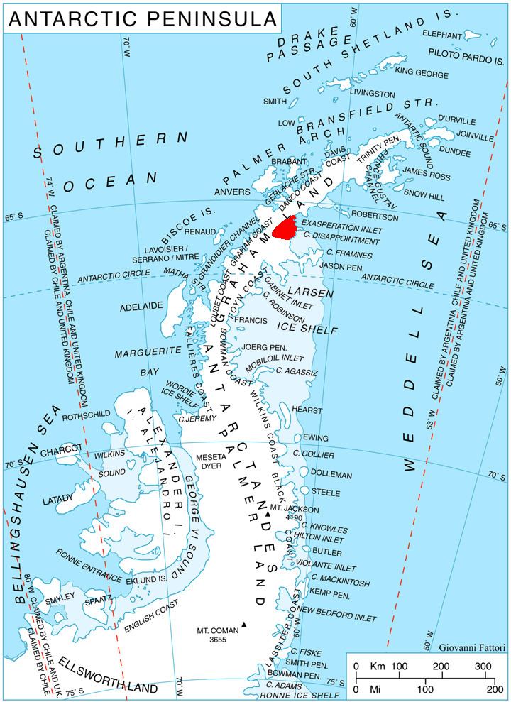 | ||
Aristotle Mountains is the fan-shaped sequence of ridges spreading east-northeastwards from its summit Madrid Dome (1650 m) on Oscar II Coast in Graham Land on the Antarctic Peninsula. The feature is named after the ancient Greek scientist Aristotle who in his book Meteorology dated c. 350 BC was the first to conjecture the existence of a landmass in the southern high-latitude region, calling it Antarctica.
Contents
Map of Aristotle Mountains, Antarctica
Extent and location
It extends 62 km in a southwest-northeast direction and 44 km in the northwest-southeast direction, and is bounded by Crane Glacier to the northwest, Exasperation Inlet to the northeast and Flask Glacier to the south. It is linked to Roundel Dome and Bruce Plateau to the west-southwest by a saddle 1550 m in elevation. The mountains are centred at 65°35′00″S 62°28′00″W. It was mapped as part of the British Antarctic Survey in 1974.