Width 0.45 km (0.28 mi) | Length 0.62 km (0.385 mi) Population 0 | |
 | ||
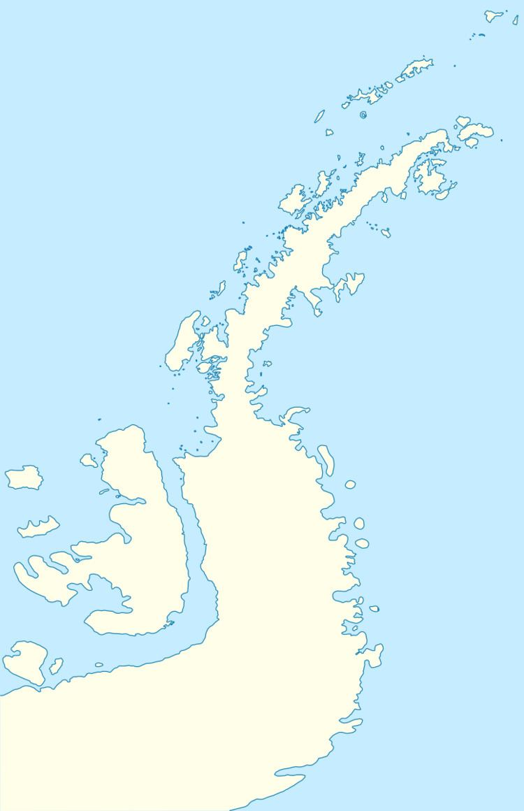
Temenuga Island (Bulgarian: остров Теменуга, ‘Ostrov Temenuga’ \'os-trov te-me-'nu-ga) is a rocky island lying 660 m northeast of Quinton Point, Goten Peninsula on the northwest coast of Anvers Island in the Palmer Archipelago, Antarctica. Temenuga is 620 m long by 450 m wide, and is separated from Kalotina Island to the west by a 140 m wide passage.
Contents
Map of Temenuga Island, Antarctica
The island is named after the settlements of Temenuga in Northern and Southern Bulgaria.
Location
Temenuga Island is located at 64°18′42″S 63°39′29″W. British mapping in 1980.
Maps
References
Temenuga Island Wikipedia(Text) CC BY-SA
