
 | ||
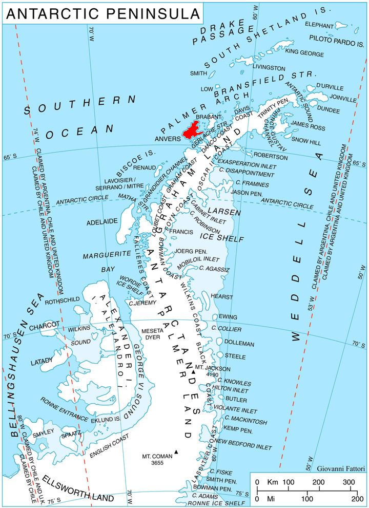
Goten Peninsula (Bulgarian: полуостров Готен, ‘Poluostrov Goten’ po-lu-'os-trov go-'ten) is the mostly ice-covered peninsula wide 5.35 km (3.32 mi) and indenting for 4.4 km (2.7 mi) northwestwards between Perrier Bay and Esquivel (Ricke) Bay on the northwest coast of Anvers Island in the Palmer Archipelago, Antarctica. It ends up in Quinton Point to the northwest.
Contents
The peninsula is named after Goten Peak in western Balkan Mountains, Bulgaria.
Location
Goten Peninsula is centred at 64°20′20″S 63°37′40″W. British mapping in 1980.
Maps
References
Goten Peninsula Wikipedia(Text) CC BY-SA