
 | ||
Quinton point
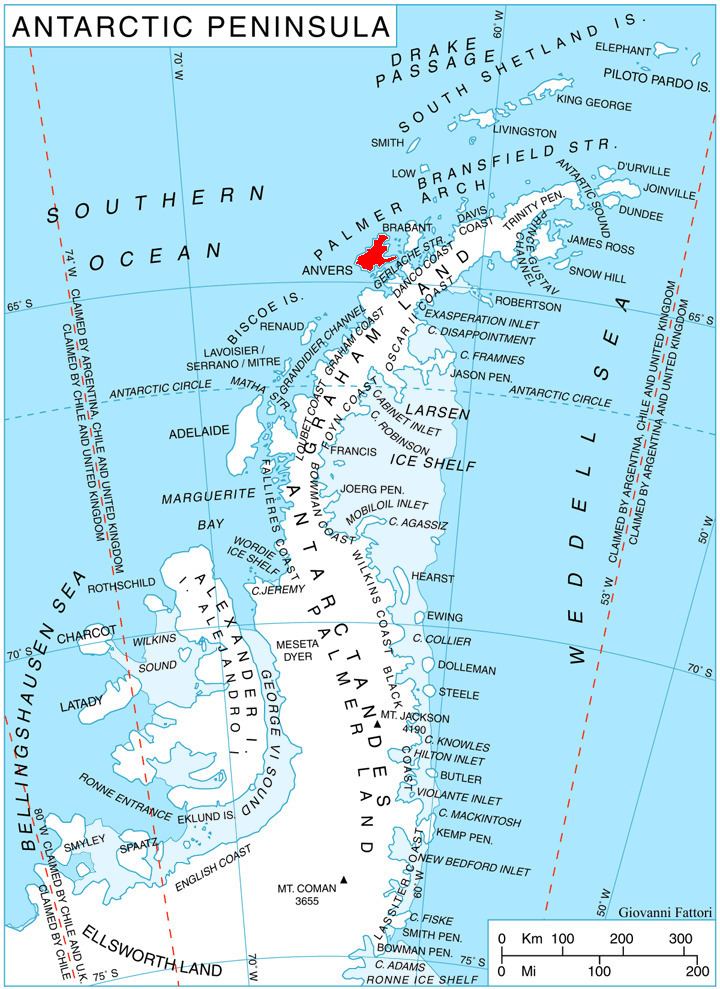
Quinton Point (64°19′S 63°41′W) is a point at the north side of the entrance to Perrier Bay, forming the northwest extremity of Goten Peninsula on the northwest coast of Anvers Island in the Palmer Archipelago of Antarctica. First charted by the French Antarctic Expedition, 1903–05, it was named by Charcot after Rene Quinton, French naturalist, then assistant at the Laboratoire de Pathologie Physiologique, College de France.
Contents
Quinton point 3 bedroom 2 bath
Maps
References
Quinton Point Wikipedia(Text) CC BY-SA