
Country India District Nadia Telephone/STD code 03474 Elevation 13 m Area code 03474 | Time zone IST (UTC+5:30) Area 172.5 km² Population 151,231 (2011) | |
 | ||
PIN 741155 (Palashipara)741156 (Plassey) | ||
Tehatta II is a community development block that forms an administrative division in Tehatta subdivision of Nadia district in the Indian state of West Bengal. Tehatta police station serves this block. Headquarters of this block is at Palashipara. It is located 45 km from Krishnanagar, the district headquarters.
Contents
Location
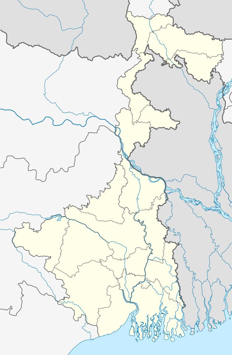
The headquarter of Tehatta II CD Block is at Palashipara. Palashipara is located at 23°47′00″N 88°27′00″E.
Tehatta II CD Block is bounded by Naoda, CD Block in Murshidabad district, and Karimpur II CD Block, in the north, Tehatta I CD Block in the east, Nakashipara CD Block in the south and Kaliganj CD Block in the west.
Palashipara is about 18 km from Plassey, where the famous Battle of Plassey was fought in 1757. Jalangi River flows through region.
Area
Tehatta II community development block has an area of 172.50 km2.
Physical features
Nadia district is mostly alluvial plains lying to the east of Hooghly River, locally known as Bhagirathi. The alluvial plains are cut across by such distributaries as Jalangi, Churni and Ichamati. With these rivers getting silted up, floods are a recurring feature.
Gram panchayats
Gram panchayats of Tehatta II block & panchayat samiti are Barnia, Gopinathpur, Hanspukuria, Palashipara, Polsunda I, Polsunda II and Sahebnagar.
Demographics
As per 2011 Census of India Tehatta II CD Block had a total population of 151,231, all of which were rural. There were 77,299 (51%) males and 73,932 (49%) females. The population below 6 years was 17, 071. Scheduled Castes numbered 25,085 and Scheduled Tribes numbered 2,092.
As per 2001 census, Tehatta II block had a total population 134,113, out of which 68,737 were males and 65,376 were females. Tehatta II block registered a population growth of 16.96 per cent during the 1991-2001 decade. Decadal growth for the district was 19.51 per cent. Decadal growth in West Bengal was 17.84 per cent.
Large villages
Large villages in Tehatta II CD Block were (2011 census figures in brackets): Dhwapara (6,667), Baraia (7,746), Baruipara (8,077), Palsunda (11,791), Bara Naldaha (6,537), Chhoto Naldaha (4,437), Panchdara Abhaynagar (9,803), Barnia (16,350), Hanspukuria (8,023), Natipota (6,860), Palashipara (10,693), Radhanagar (4,345) and Rudranagar (4,694).
Literacy
As per 2011 census the total number of literates in Tehatta II CD Block was 91,926 (68.52% of the population over 6 years) out of which 48,752 (53%) were males and 43,174 (47%) were females.
As per 2011 census, literacy in Nadia district was 74.97. Literacy in West Bengal was 77.08% in 2011. Literacy in India in 2011 was 74.04%.
Language
Bengali is the local language in these areas.
Culture
Attractions in the area are – Sonargouranga temple (with the golden statue of Chaitanya Mahaprabhu), Chandroday temple and a church. A famous and oldest indigo Kuthi is situated near 3 k.m at Nishcintapur in demolished form.
Education
High Schools:
- Choto Naldah High School
- Barnia High School
- Hanspukuria Vidyapith
- Palashipara Mahatma Gandhi Smriti Vidyapith
- Palashipara Mahatma Gandhi Smriti Balika Vidyamandir
- Palsunda High School.
- Siddheswaritala Institution
- Sahebnagar High School
- Bareya Nutanpara Junior High School
- Netaji Vidyamandir