
Country India Telephone/STD code 03474 Area 249.6 km² Area code 03474 | Time zone IST (UTC+5:30) Elevation 13 m Population 244,322 (2011) | |
 | ||
PIN 741160 (Tehatta)741163 (Betai)741169 (Chanderghat) | ||
Cm ms mamata banerjee at a public meeting in tehatta in nadia
Tehatta I is a community development block that forms an administrative division in Tehatta subdivision of Nadia district in the Indian state of West Bengal. Tehatta police station serves this block. Headquarters of this block is at Tehatta. It is located 42 km from Krishnanagar, the district headquarters.
Contents
- Cm ms mamata banerjee at a public meeting in tehatta in nadia
- Location
- Area
- Physical features
- Gram panchayats
- Demographics
- Large villages
- Literacy
- Language
- Transportation
- Healthcare
- References
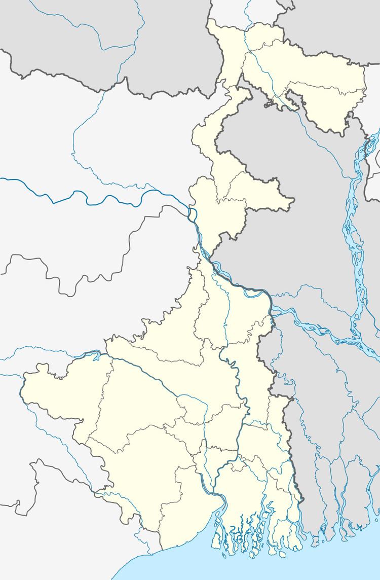
Location
Tehatta is located at 23°43′21″N 88°31′39″E.
Tehatta I CD Block is bounded by Naoda, in Murshidabad district, and Karimpur II CD Block, in the north, Meherpur Sadar Upazila of Meherpur District of Bangladesh in the east, Chapra CD Block in the south and Tehatta II CD Block in the west.
Area
Tehatta I CD Block has an area of 249.57 square kilometres (96.36 sq mi).
Physical features
Nadia district is mostly alluvial plains lying to the east of Hooghly River, locally known as Bhagirathi. The alluvial plains are cut across by such distributaries as Jalangi, Churni and Ichhamati. With these rivers getting silted up, floods are a recurring feature.
Gram panchayats
Gram panchayats of Tehatta I block/ panchayat samiti are: Betai I, Betai II, Chanderghat, Chitka, Kanainagar, Natna, Patharghata I, Patharghata II, Raghunathpur, Shyamnagar and Tehatta.
Demographics
As per 2011 Census of India Tehatta I CD Block had a total population of 244,322, all of which were rural. There were 125,875 (52%) males and 118,447 (48%) females. The population 6 years was 24,827. Scheduled Castes numbered 85,294 and Scheduled Tribes numbered 4,481.
As per 2001 census, Tehatta I block had a total population 217,541, out of which 111,673 were males and 105,868 were females. Tehatta I block registered a population growth of 16.87 per cent during the 1991-2001 decade. Decadal growth for the district was 19.51 per cent. Decadal growth in West Bengal was 17.84 per cent.
Large villages
Large villages in Tehatta I CD Block were (2011 census figures in brackets): Dhopahat (4,711), Chanderghat (8,399), Khaspu (4,210), Shyamnagar (7,470), Nischintapur (5,065), Chilakhali (4,759), Fatepur (4,131), Kanainagar (4,158), Rajapur (4,315), Chhitka (4,455), Mrigi (6,030),Kamalesh(6,030A) ,Binodnagar (6,059), Haripur (4,564), Mobarakpur (6,977), Betai (20,774), Karaigachhi (4,226), Betai Jitpur (14,193), Bagakhali (5,393), Jitpur (4,779), Tehatta (21,093), Natna (4,634), Taranipur (7,162), Puthimari (9,157) and Pathar Ghata (16,219).
Literacy
As per 2011 census the total number of literates in Tehatta I CD Block was 155,228 (70.07% of the population over 6 years) out of which 83,454 (54%) were males and 71,774 (46%) were females.
As per 2011 census, literacy in Nadia district was 74.97. Literacy in West Bengal was 77.08% in 2011. Literacy in India in 2011 was 74.04%.
Language
Bengali is the local language in these areas.
Transportation
The 251 km long State Highway No. 11 passes through this block.
Healthcare
Tehatta I block is one of the areas where ground water is affected by arsenic contamination.