
Country India Telephone/STD code 03474 Elevation 13 m Area code 03474 | Time zone IST (UTC+5:30) Area 355.9 km² Population 386,569 (2011) Local time Monday 11:08 AM | |
 | ||
PIN 741126 (Khidirpur Bethuadahari)741154 (Muragachha)741185 (Dogachhi) Weather 26°C, Wind E at 10 km/h, 57% Humidity | ||
Nakashipara is a community development block that forms an administrative division in Krishnanagar Sadar subdivision of Nadia district in the Indian state of West Bengal. Nakashipara police station serves this block. Headquarters of this block is at Nakashipara. It is located 29 km from Krishnanagar, the district headquarters.
Contents
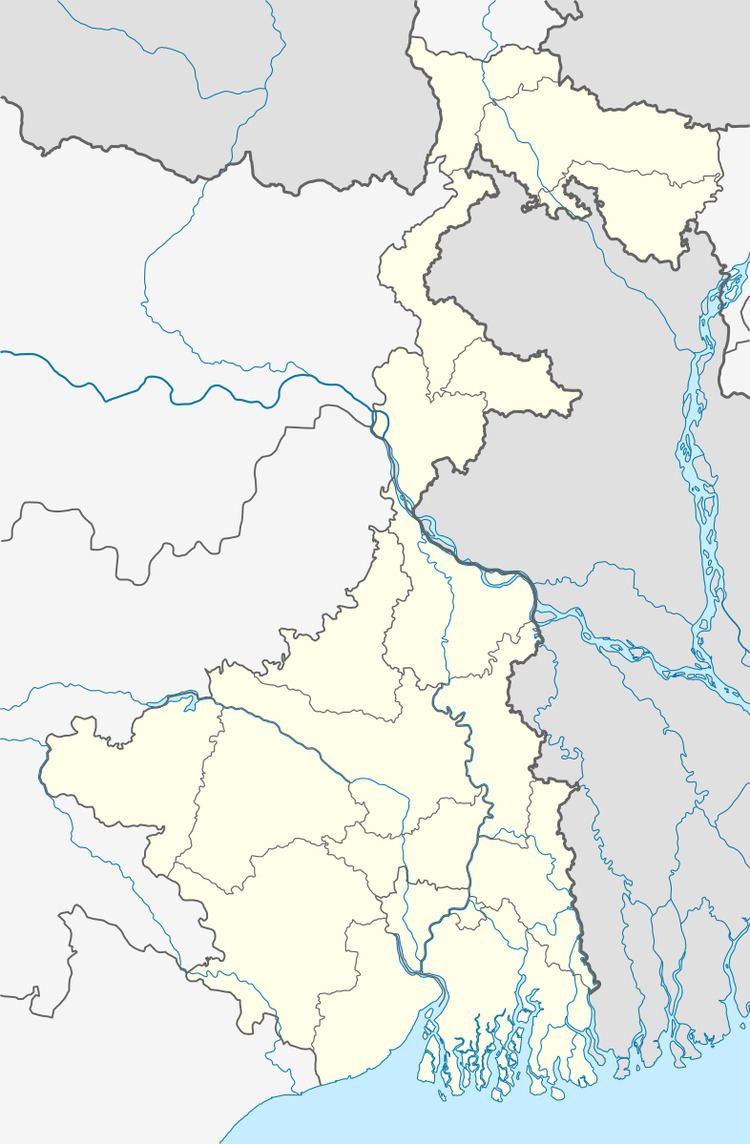
- Map of Nakashipara West Bengal 741138
- Location
- Area
- Physical features
- Gram panchayats
- Demographics
- Census towns and large villages
- Literacy
- Language
- Transportation
- Healthcare
- Bethuadahari Wildlife Sanctuary
- References
Map of Nakashipara, West Bengal 741138
Location
Nakashipara is located at 23°35′N 88°21′E.
Nakasipara CD Block is bounded by Tehatta II and Kaliganj CD Blocks in the north, Tehatta I and Chapra CD Blocks in the east, Nabadwip CD Block and Purbasthali II CD Block, in Bardhaman district across the Bhagirathi, in the south and Katwa II CD Block, in Bardhaman district across the Bhagirathi, in the west.
Area
Nakashipara CD Block has an area of 355.89 km2.
Physical features
Nadia district is mostly alluvial plains lying to the east of Hooghly River, locally known as Bhagirathi. The alluvial plains are cut across by such distributaries as Jalangi, Churni and Ichhamati. With these rivers getting silted up, floods are a recurring feature.
Gram panchayats
Gram panchayats of Nakashipara block/ panchayat samiti are: Bethuadahari I, Bethuadahari II, Bikrampur, Bilkumari, Billwagram, Birpur I, Birpur II, Dhananjoypur, Dharmada, Dogachhia, Haranagar, Majhergram, Muragacha, Nakashipara and Patikabari.
Demographics
As per 2011 Census of India Nakashipara CD Block had a total population of 386,569, of which 352,191 were rural and 34,378 were urban. There were 198,517 (52%) males and 180,990 (48 %) females. The population below 6 years was 47,337. Scheduled Castes numbered and 89,952 and Scheduled Tribes numbered 9,907.
As per 2001 census, Nakashipara block had a total population of 334,863, out of which 172,400 were males and 162,463 were females. Nakashipara block registered a population growth of 22.72 per cent during the 1991-2001 decade. Decadal growth for the district was 19.51 per cent. Decadal growth in West Bengal was 17.84 per cent.
Census towns and large villages
There are two census towns in Nakashipara CD Block (2011 population figures in brackets): Jagadanandapur (23,822) and Kshidirpur (10,556).
Large villages in Nakashipara CD Block (2011 population figures in brackets): Haranagar (7,621), Dhubinagadi (5,177), Bikrampur (5,781), Arpara (4,113), Bilkumari (7,112), Arbetai (4,809), Parkula (5,677), Uttar Bahirgachi (4,390), Chichuria (5,892), Chenga (9,038), Kanthalberia (9,352), Bethuadahari (4,923), Chak Hatisala (5,732), Bilwagram (5,853), Chak (4,043), Dadupur (4086), Chandanpur (5,068), Tetul Baria (4,447), Bangaria (5,931), Jalsuka (5,240), Patikabari (8,242), Dhananjoypur (8,302), Dhaparia (5,958), Mejpota (4,494), Sibpur (5,160), Radhanagar (5,172), Birpur (14,116), Petuabhanga (8,403), Teghari (5,355), Mota (6,479), Digha (4,236), Dogachhia (5,932), Saligram (9,913), Gachha (7,213), Muragachha (8,937) and Dakshin Bahiragachhi (4,500).
Literacy
As per 2011 census the total number of literates in Nakashipara CD Block was 220,021 (64.86 % of the population over 6 years) out of which 119,788 (54%) were males and 100,233 (46%) were females.
As per 2011 census, literacy in Nadia district was 74.97. Literacy in West Bengal was 77.08% in 2011. Literacy in India in 2011 was 74.04%.
Language
Bengali is the local language in these areas.
Transportation
The Ranaghat-Lalgola branch line was opened in 1905. It passes through this CD Block and there are stations at Sonadanga, Bethuadahari and Muragachha.
NH 34 passes through this block.
Healthcare
Nakashipara block is one of the areas where ground water is affected by arsenic contamination.
Bethuadahari Wildlife Sanctuary
The Bethuadahari Wildlife Sanctuary covering 67 hectares, and established in 1980 in this CD Block, is an extended deer park, with some other wildlife and birds.