
Easiest route Trail hike Prominence 183 m | Topo map USGS Frazier Mountain Elevation 2,182 m | |
 | ||
Similar Antimony Peak, Eagle Rest Peak, Cerro Noroeste, Sawmill Mountain, Frazier Mountain | ||
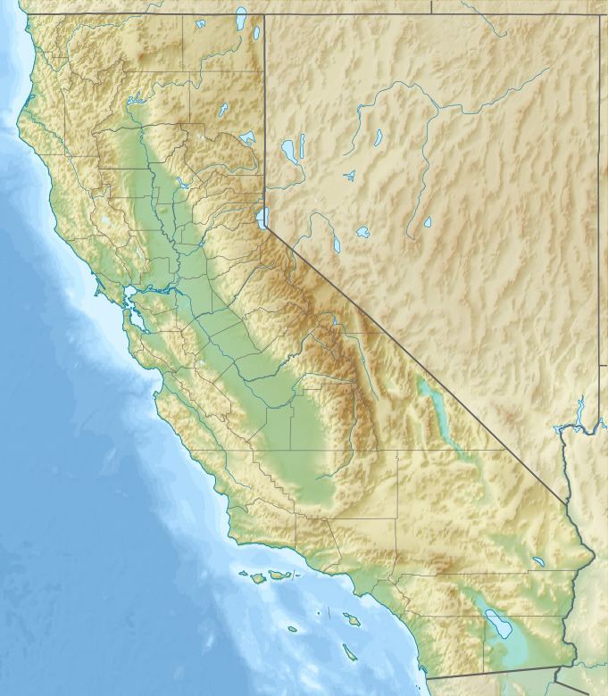
Tecuya Mountain in southern Kern County, California, more than 7,163 feet (2,183 m) high, is the highest point on the Tecuya Ridge of the San Emigdio Mountains in the Transverse Ranges.
Map of Tecuya Mountain, California 93225, USA
References
Tecuya Mountain Wikipedia(Text) CC BY-SA