
Topo map USGS Sawmill Mountain Elevation 2,530 m | Parent range San Emigdio Mountains Easiest route Road Prominence 207 m | |
 | ||
Similar Sawmill Mountain, Mount Pinos, Frazier Mountain, Antimony Peak, Eagle Rest Peak | ||
Cerro Noroeste is a mountain located in Southern California's Kern County, a mile north of the Ventura County border. It is located a few miles southwest of the community of Pine Mountain Club, at an elevation of 8283 feet (2525+ m). The mountain is located in the Los Padres National Forest. It is surrounded by the Chumash Wilderness to the south and west, though the peak itself is not actually within the wilderness (since it is approached by a paved, public-access roadway).
Map of Cerro Noroeste, Pine Mountain Club, CA 93252, USA
The name Cerro Noroeste means 'northwest mountain'. It was formerly known as Mount Abel in honor of former Kern County supervisor Stanley Abel.
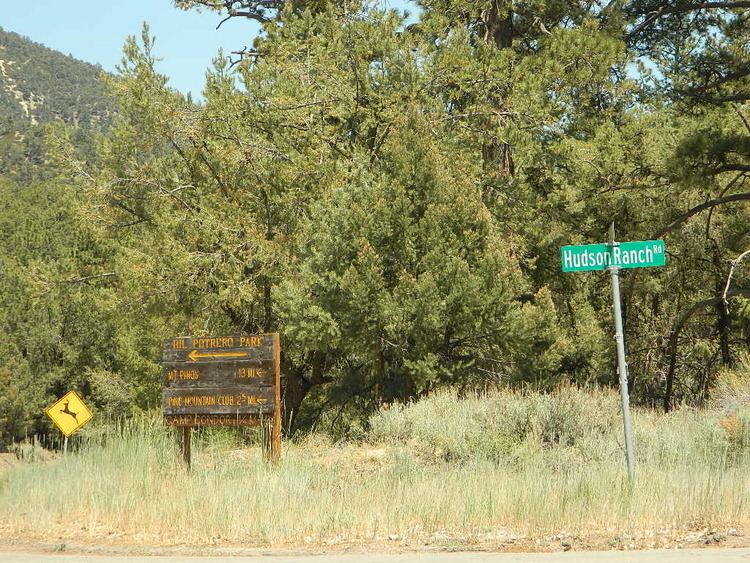
The summit can be reached by taking Cerro Noroeste Road, Forest Route 9N27. The road is closed every winter after the first or second snow. It usually is reopened in May though there can still be substantial snow from heavy winters. Located near the summit are Campo Alto campground and a radio tower.