
Easiest route Road Prominence 2,348 m | Topo map USGS Frazier Mountain Elevation 2,466 m | |
 | ||
Similar Mount Pinos, Cerro Noroeste, Sawmill Mountain, Antimony Peak, Eagle Rest Peak | ||
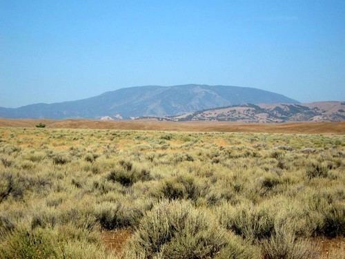
Frazier Mountain is a broad, pine-forested peak in the Transverse Ranges System, within the Los Padres National Forest in northeastern Ventura County, California. At 8,017 feet (2,444 m), Frazier Mnt. is the sixteenth-highest mountain in the Transverse Ranges of Southern California.
Contents
Map of Frazier Mountain, California 93225, USA
GeographyEdit
The community of Frazier Park and its outlying district of Lake of the Woods are northward of the mountain. The intersection of Ventura, Los Angeles, and Kern Counties lies just to the northeast. Interstate 5 runs to the east of the mountain, and Southern California Edison's Path 26 500 kV wires are at its eastern foothills.
Mount Pinos is 21.5 miles by road west of Frazier Mountain. Alamo Mountain and the Sespe Condor Sanctuary are to its south.
The summit of the mountain is a Forest Service lookout area with radio tower facilities as well as an abandoned fire lookout tower. The highest point is accessible by a forest road that is open when there is no snow present on the mountain.