
Founded 2 August 1600 Website Official website Local time Monday 7:32 AM | Elevation 2,931 m (9,616 ft) Area 204 km² Population 8,801 (2015) | |
 | ||
Weather 10°C, Wind N at 5 km/h, 91% Humidity | ||
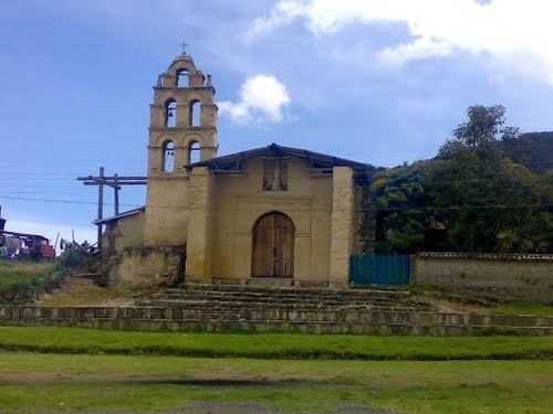
Tausa ([ˈtausa]) is a municipality and town of Colombia in the Ubaté Province, part of the department of Cundinamarca. Tausa is and was an important town on the Altiplano Cundiboyacense due to its salt mine. It was the third most prolific salt deposit for the original inhabitants of the area; the Muisca. Tausa's urban centre is located at an altitude of 2,950 metres (9,680 ft) (other parts of the municipality reach altitudes of 3,700 metres (12,100 ft)) and a distance of 65 kilometres (40 mi) from the capital Bogotá. The municipality borders San Cayetano, Carmen de Carupa and Sutatausa in the north, Pacho in the west, Sutatausa, Cucunubá and Suesca in the east and in the south with Nemocón and Cogua.
Contents
Map of Tausa, Cundinamarca, Colombia
Etymology
The name Tausa comes from Chibcha and means "tribute".
History
Tausa was inhabited since the Herrera Period. The town was an important mining location of halite for the Muisca. The zipa of Bacatá ruled over Tausa. The mining activities can be seen in the seal of the village; the pick and spade.
Modern Tausa was founded on August 2, 1600.
Economy
Main sources of income of Tausa are agriculture, livestock farming and salt mining.