
Local time Monday 2:04 AM | ||
 | ||
Weather 21°C, Wind NE at 21 km/h, 78% Humidity Civil parish Tarrafal de São Nicolau, Cape Verde | ||
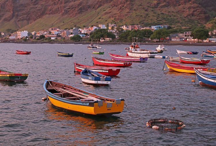
Tarrafal de São Nicolau is a town in the western part of the island of São Nicolau, Cape Verde. Its 2010 population was 3,733 and home to more than a third of the municipal population. It is situated on the west coast, 9 km southwest of Ribeira Brava. It is the seat of the Tarrafal de São Nicolau Municipality, and the main port of the island. the town and area are surrounded by mountains. The port is the other that offers ferry services to other islands including São Vicente and Sal which connects to other islands including Santiago. For many years, the port is the island's most busiest. It is the only island that have two ports that are used for ferry services, it once had two that used it, the other was Sal.
Contents
Map of Tarrafal de S%C3%A3o Nicolau, Cape Verde
Tarrafal started as a fishing village, the growing population would elevated to a town in the 1990s and continues today.
About 4 km south is the island's southernmost point named Ponta do Barril.
Subdivisions
Its subdivisions are divided into neighborboods (bairros) including:
Sports
Its football (soccer) stadium is Estádio Orlando Rodrigues. The town's clubs include AJAT'SN and FC Ultramarina