
Length 45 km (28 mi) Highest point Monte Gordo Pop. density 32.9 /km (85.2 /sq mi) Population 12,769 (2010) | Width 20 km (12 mi) Area 388 km² Highest elevation 1,340 m (4,400 ft) | |
 | ||
Island groups Barlavento Islands, Cape Verde archipelago | ||
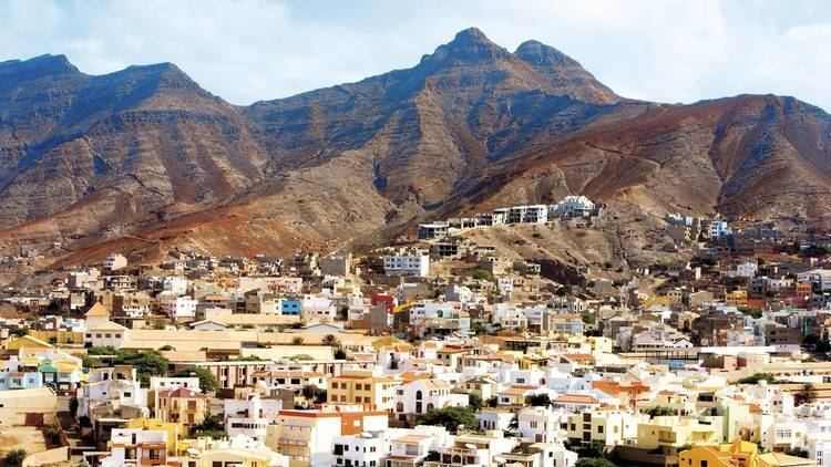
São Nicolau (Portuguese meaning Saint Nicholas) is one of the Barlavento (Windward) islands of Cape Verde. It is located between the islands of Santa Luzia and Sal. Its population is 12,769, with an area of 388 km². Its economy consists mainly of agriculture as well as fishing and tourism near its beaches. Much of the population is rural. Preguiça Airport is located to the south between Vila da Ribeira Brava and Campo.
Contents
- Map of SC3A3o Nicolau Cape Verde
- History
- Geography
- Administrative divisions
- Demographics
- Transportation
- International Relations
- Notable residents
- References
Map of S%C3%A3o Nicolau, Cape Verde
History
First inhabited in the sixteenth century, its first settlers came from Madeira and Portugal, it is known for its mountains and for its main town, Ribeira Brava, long the seat of the Cape Verde diocese. Its other town is the ferry and the fishing port of Tarrafal. In 1818 a fort would be built at Preguiça to defend from pirate attacks. The seminary was first opened in 1866, the oldest in West Africa. A famine affected the entire island in the 1940s which led to emigration, mainly to São Tomé and Príncipe and the neighbouring island of Sal especially to Espargos where the airport and town would be created.
Geography
The mountainous island is mostly agricultural but is subject to droughts. The flat areas and hills dominate most of the coastline and the central part. A peninsula covers the eastern part of the island. The highest point on the island is Monte Gordo (1,312 m). Other mountains include Monte Bissau in the central part and Pico do Alberto to the east.
Administrative divisions
The island is divided in two municipalities, which are subdivided into civil parishes:
Before 2005, the island was administrated as one municipality: São Nicolau.
Demographics
As of 1832, São Nicolau had an estimated population of 5,000.
In around 2000, the island's population are now less than the island of Sal's.
Transportation
The island's airport is the Preguiça Airport located near Preguiça and south of Ribeira Brava.
The road network is 108.76 km, 92.73 km are national and has seven roads and 16.03 km are municipal and has nine municipal roads.
International Relations
São Nicolau is twinned with: