Municipality Ribeira Brava Local time Wednesday 3:22 PM | Elevation 295 m Number of airports 1 | |
 | ||
Weather 24°C, Wind NE at 31 km/h, 62% Humidity | ||
Ribeira Brava (colloquially known in Cape Verdean Creole as Stanxa) is a town on the island of São Nicolau, Cape Verde. It is the seat of the Ribeira Brava Municipality. The town is situated in the valley of the river Ribeira Brava, east of the main mountain range of the island. The name of the river (and the town) is Portuguese for "rough stream", referring to the violent behaviour of the river during rains.
Map of Ribeira Brava, Cape Verde
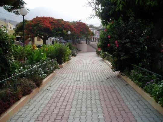
Ribeira Brava serves as the center of business and trade for the surrounding areas from the beginning of its founding, in the 17th Century. Its population was 1,936 at the 2010 census. It was for many years the seat of the Roman Catholic Church in the archipelago. The city has a colonial look with Portuguese style buildings, charming parks and gardens, small winding streets, and steep hills with stunning views. The Seminário-Liceu de São José, founded in Ribeira Brava in 1866 and abolished in 1930's to make way to political prisoners from Portugal, was an important center of higher education in the archipelago.
The first Franco-Cape Verdean cooperation was done in Ribeira Brava in 1976, the Fajã Gallery (Galeria de Fajã) was opened under a French cooperation.
Since the late 2000s, the town is bypassed to the east with a small perimeter connecting with the eastern part of the island.
