
- elevation 1,250 m (4,101 ft) | - elevation 677 m (2,221 ft) Country Australia | |
 | ||
- location below Mount Tooronga, Tanjil Bren | ||
Tanjil state forest victoria dirtbike pt 5 tanjil river to willow grove rd w map
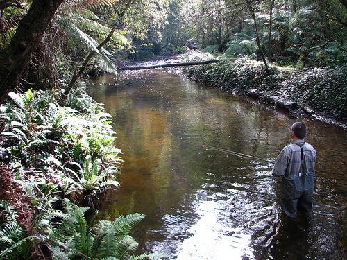
The Tanjil River is a perennial river of the West Gippsland catchment, located in the West Gippsland region of the Australian state of Victoria.
Contents
- Tanjil state forest victoria dirtbike pt 5 tanjil river to willow grove rd w map
- Map of Tanjil River Tanjil South VIC Australia
- Tanjil state forest victoria dirtbirt pt 4 the staircase track costons rd to tanjil river
- Course and features
- References
Map of Tanjil River, Tanjil South VIC, Australia
Tanjil state forest victoria dirtbirt pt 4 the staircase track costons rd to tanjil river
Course and features
Formed by the confluence of the Tanjil River West Branch that drains the eastern slopes of Mount Toorongo from an elevation of 677 metres (2,221 ft) and the Tanjil River East Branch that drains the southeastern slopes of Mount Baw Baw from an elevation of 1,520 metres (4,990 ft), the Tanjil River rises below Hill End within the Great Dividing Range, in the Mount Tanjil Nature Reserve east of Neerim South and southwest of Rawson. The river flows in a highly meandering course generally south, then south by east, joined by two minor tributaries, before reaching its confluence with the Latrobe River west of both Lake Narracan and Yallourn North in the Latrobe City local government area. The river descends 149 metres (489 ft) over its 34-kilometre (21 mi) course.
The Tanjil River is impounded by the Blue Rock Dam, that provides cooling water for thermal power stations sited in the Latrobe Valley, and to augment domestic water supplies. A small 2.4-megawatt (3,200 hp) hydroelectric power station is located on the river below the dam wall.
The Tanjil River sub-catchment area is managed by the West Gippsland Catchment Management Authority.