
Postal Code 15170-000 Area 745.8 km² Team Tanabi Esporte Clube | Time zone UTC-3 (UTC-3) Area code(s) +55 17 Local time Sunday 6:29 AM | |
 | ||
Weather 21°C, Wind SE at 3 km/h, 93% Humidity | ||
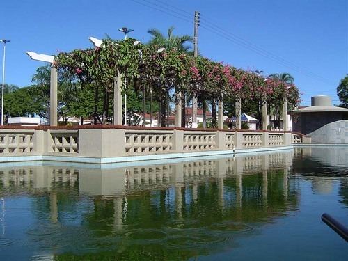
Tanabi is a municipality in the northwestern part of the state of São Paulo, Brazil. The population is 24,055 inhabitants (IBGE/2010). The city is located 447 km from the city of São Paulo and 30 km from São José do Rio Preto. Tanabi was founded in July 4, 1882.
Contents
Map of Tanabi, State of S%C3%A3o Paulo, Brazil
Demographics
Indicators:
All indicators are from SEADE and IBGE
Economy
The tertiary sector corresponds to 64.57% of the GDP. The primary sector is 16.55% of Tanabi's GDP and the industry corresponds to 18,88%.
Transportation
References
Tanabi Wikipedia(Text) CC BY-SA