
Time zone UTC-3 (UTC-3) Elevation 475 m Local time Friday 8:16 PM | Mesoregion São José do Rio Preto Postal Code 15150-000 Area 496.9 km² | |
 | ||
Weather 26°C, Wind SE at 8 km/h, 67% Humidity | ||
Monte apraz vel sp
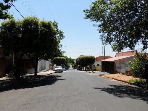
Monte Aprazível is a municipality in the state of São Paulo, Brazil. The population is of 21,746 inhabitants, and the area is 496.9 km².
Contents
- Monte apraz vel sp
- Map of Monte AprazC3ADvel State of SC3A3o Paulo Brazil
- Sobrevoando monte apraz vel
- History
- Economy
- Transportation
- References
Map of Monte Apraz%C3%ADvel - State of S%C3%A3o Paulo, Brazil
Known as "The Dream's Dam City", because of a dam located nearby the city center.
Monte Aprazível belongs to the Mesoregion of São José do Rio Preto and is located 475 km from the city of São Paulo.
Sobrevoando monte apraz vel
History
Monte Aprazível was founded by Captain Porfírio de Alcântara Pimentel, who was born in the city of Areias, São Paulo. In December 18, 1914, the district is created, and in December 23, 1924, the municipality is established with the emancipation from Rio Preto.
Economy
The Tertiary sector and the Industry are the economic basis of Monte Aprazível. Commerce, services and public administration corresponds to 49% of the city GDP. The Secondary sector is 45.5% of the GDP, and the Primary sector corresponds to 5.5%.