
Main source Lammerlaw Ranges Country New Zealand | Length 200 km Source Lammerlaw Ranges Mouth elevation 0 | |
 | ||
River mouth Pacific Ocean0 m (0 ft) Cities | ||
The Taieri River is the fourth-longest river in New Zealand and is in Otago in the South Island. Rising in the Lammerlaw ranges, it initially flows north, then east around the Rock and Pillar range before turning southeast, reaching the sea 30 kilometres (19 mi) south of Dunedin.
Map of Taieri River, Otago, New Zealand
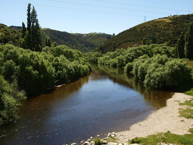
The upper reaches meander in a series of convoluted loops across a floodplain near Paerau before running through two small hydroelectric power stations before Patearoa in the Maniototo. The Taieri then arcs through almost 180 degrees, entering a broad glacial valley the Strath-Taieri, surrounded by rugged hill ranges. Immediately downstream the river has cut a steep-sided declivity—the Taieri Gorge. This is known for the Taieri Gorge Railway, which follows a route into Central Otago through it. In the Taieri's lower reaches there is a broad floodplain (the Taieri Plains) containing much of Otago's most fertile farmland. The river then flows through the lower Taieri Gorge to the Pacific Ocean at Taieri Mouth. Taieri Island lies in the Pacific Ocean several hundred metres from the mouth of the river.
The Taieri is 200 kilometres (120 mi) long of which the last 20 kilometres (12 mi) are navigable. Towns along the river include Middlemarch, Outram, Allanton, Mosgiel, Henley and Taieri Mouth. Its major tributary is the Waipori River, which meets the Taieri near Henley on the Taieri Plains.
The name "Taieri" is thought to come from the Māori word taiari meaning "spring tide".