
Local time Sunday 1:09 PM | ||
 | ||
Weather 15°C, Wind SW at 21 km/h, 60% Humidity | ||
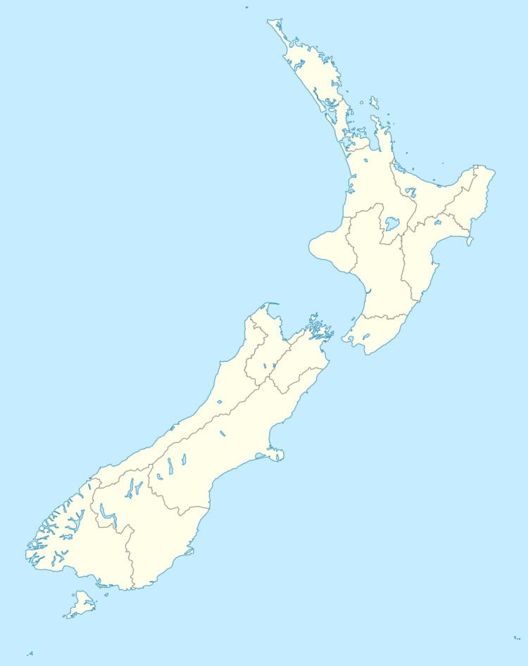
Allanton is a small town in Otago, New Zealand, located some 20 kilometres southwest of Dunedin on State Highway 1. The settlement lies at the eastern edge of the Taieri Plains close to the Taieri River at the junction of the main road to Dunedin International Airport at Momona.
Map of Allanton, New Zealand
Established near the junction of the Taieri River and Owhiro Stream the site was first known to Europeans as "Scroggs' Creek Landing" after Samuel Scroggs, a member of CH Kettle's survey teams. In 1875, with the arrival of the railway south from Dunedin; and satisfying criteria for a "town", the community was renamed Greytown - after former Governor Sir George Grey. Among those who took up land in the growing community were immigrant Poles, from among the "Brogdenites" who had constructed the railway. Several Polish surnames survive in the local community.
In 1895 a conflict of identity was recognised between the local community and another Greytown, well established in the Wairarapa. The Taieri County Council met and agreed to again rename the community. By a unanimous decision it was given the name "Allanton" - as a gesture of respect for the late James Allan of nearby "Hopehill", a former Otago Provincial Councillor, County Councillor and East Taieri Church Elder.
Allanton's community has declined in recent years, with the local school closing in 2004 and the Sacred Heart Catholic Church closing the following year. The final shop to close was the 'Honey Shoppe', which closed in 2011.