
Population 8,027 (2011 census) Area 7.3 km² Federal division Division of Pearce | Postcode(s) 6056 Postal code 6056 | |
 | ||
LGA(s) Shire of MundaringCity of Swan | ||
Swan View is an eastern suburb of Perth, Western Australia. Its local government areas are the City of Swan and the Shire of Mundaring. It is 25 kilometres (16 mi) from Perth in the Perth Hills on the edge of the Darling Scarp, just to the west of the John Forrest National Park, east of Roe Highway and north of the Great Eastern Highway.
Contents
Map of Swan View WA 6056, Australia
The Brown Park community recreation ground is the location of the long-standing annual Swan View Agricultural Show.
Transport
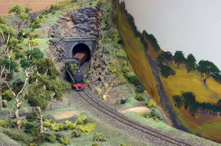
The railway station of Swan View was the important control point for traffic through and around the Swan View Tunnel until it closed for traffic on 13 February 1966. Today, Swan View is served by Transperth buses from Midland, operated by the Public Transport Authority, while the Transwa Avonlink/Prospector railway line to Northam and beyond runs along Swan View's western edge.
Geography
Swan View is bounded by the Avonlink/Prospector railway line to the west, the former railway (now part of the Railway Reserves Heritage Trail) to the south, John Forrest National Park to the east, and a line east from Blackadder Creek (in part incorporating O'Connor Road and Murchison Drive) to the north. The suburb is almost entirely residential and parkland.
At the ABS 2001 census, Swan View had a population of 8,080 people living in 3,165 dwellings. About 15% of the population are of Southern or Eastern European origins.