
Population 40,015 (2015 est) Area 644.9 km² | Established 1903 Founded 1903 Mayor Helen Dullard | |
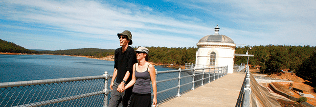 | ||
Points of interest John Forrest National, Lake Leschenaultia, Greenmount National Park, Sculpture Park, Swan View Tunnel | ||
Shire of mundaring
The Shire of Mundaring is a local government area in eastern metropolitan Perth, the capital of Western Australia. The Shire covers an area of 645 square kilometres (249 sq mi) and has a population of 36,529 (2011).
Contents
- Shire of mundaring
- Map of Mundaring WA Australia
- Shire of mundaring s tree canopy and understorey program
- History
- Statistics
- Wards
- References
Map of Mundaring, WA, Australia
Shire of mundaring s tree canopy and understorey program
History
The Greenmount Road District was created on 17 April 1903. On 29 March 1934, it was renamed Mundaring. On 1 July 1961, it became the Shire of Mundaring after enactment of the Local Government Act 1960.
Statistics
Mundaring Shire has published the following statistics for the period 1994-2006:
Wards
The shire is divided into four wards.
References
Shire of Mundaring Wikipedia(Text) CC BY-SA