
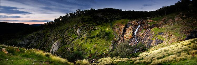
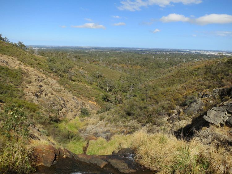
Perth hills western australia aerial views by dji phantom drone
Perth Hills is a term used primarily for marketing purposes to identify that part of the Darling Scarp and hinterland east of the scarp, that lies within the shires of Mundaring and Kalamunda, and as part of the constituent bodies belonging to the Eastern Metropolitan Regional Council of Perth, Western Australia.
Contents
- Perth hills western australia aerial views by dji phantom drone
- The perth hills views trails produce charm
- Separate Hills areas
- Swan Hills
- Mundaring Hills
- Kalamunda Hills
- Armadale Hills
- Wine region
- Bushfire
- References
The term is most commonly found on tourist maps, and on the government Department of Environment and Conservation pamphlets and materials relating to the regional headquarters at Mundaring Weir – The Perth Hills National Parks Centre (formerly known as the Hills Forest Discovery Centre) and its 'Nearer to Nature' programs and activities. It is also sometimes used in books and pamphlets.
In earlier usage of the term 'The Hills' by people living in Perth, the identification of specific locations along the Darling Scarp (also called the Darling Range) found some places more commonly referred to than others.
The perth hills views trails produce charm
Separate Hills areas
Kalamunda, and Darlington as two separate locations were frequently referred to as synonymous with the term 'The Hills' due to their presence on the edge of the Scarp and the steep roads found in those places. Greenmount Hill is often considered the 'entrance point' to the Hills because the main road – the Great Eastern Highway – passes through this location, adjacent to the route of the much earlier road, the York Road.
Swan Hills
The Swan Hills can be that part of the hills in the area defined by Toodyay Road and its passage within the north eastern part of the City of Swan and Gidgegannup. The term 'Swan Hills' is also used in other ways as well.
Mundaring Hills
The 'Welcome to Perth Hills' sign within 100 metres of Chippers Leap on Greenmount Hill is the entry point for that part of the hills in the Mundaring shire.
Kalamunda Hills
Another Welcome to Perth Hills sign is on Kalamunda Road, before the road climbs to Kalamunda. The area also includes the Bickley and Carmel Wine region.
Armadale Hills
The hills above Armadale – and localities are quite separate from the other hills localities.
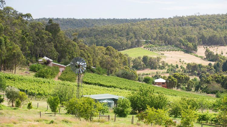
Wine region
Perth Hills is also a wine region, with some 35 wineries. The climate of warmer days and cooler nights makes it a very different region to the neighbouring Swan Valley. Larger wineries in the region combine vineyards with popular restaurants.
The Australian Geographical Indication "Perth Hills" was entered in the Register of Protected Names on 25 March 1999.
Bushfire
The serious bushfire in the 2010s was regularly referred to as the 'Perth Hills' bushfire in reports and media, rather than being identified against any one locality.