Population 229 (2011 census) Postal code 2620 Local time Sunday 3:50 AM | Postcode(s) 2620 | |
 | ||
Weather 11°C, Wind E at 8 km/h, 84% Humidity Points of interest Tulip Top Garden 16/9/17, Goorooyarroo Nature Reserve, The Henge | ||
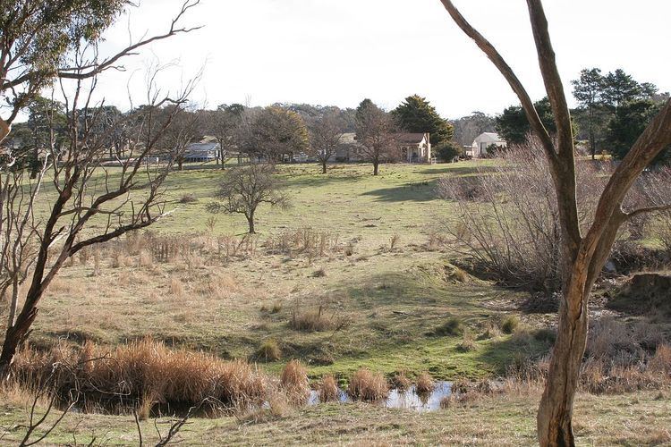
Sutton, meaning 'South Settlement' in Saxon, is a small village in the Southern Tablelands of New South Wales, Australia in Yass Valley Shire. It is situated on the west bank of the Yass River, about 17 kilometres south of Gundaroo, near the Federal Highway, not far from Canberra. It had a population of 229 people in the 2011 census, and it has a primary school, a general store, an estate agent, a rural supply store and a baker. Sutton has its own volunteer Bush Fire Brigade located in the village.
Map of Sutton NSW 2620, Australia
Sutton contains many young families: the median age is 35, children aged under 15 years made up 28% of the population and people aged 65 years and over made up 6% of the population. Of the families in Sutton, 56% were couple families with children, 34% were couple families without children and 10% were one-parent families.
Sutton's surrounding area is about 50 kilometres across and is bordered by the Australian Capital Territory, Wamboin and Gundaroo. Sutton Park, NSW is about 5 minutes from Sutton. It has a population of around 180 people.
