
Type Motorway Length 93 km | Opened 25 February 1931 | |
 | ||
Maintained by Roads and Maritime Services(NSW)Territory and Municipal Services(ACT) Formerroute number National Highway 23(1974 — 2013 [within NSW]) National Highway 23(1974 — 2013 [within ACT]) Lgas | ||
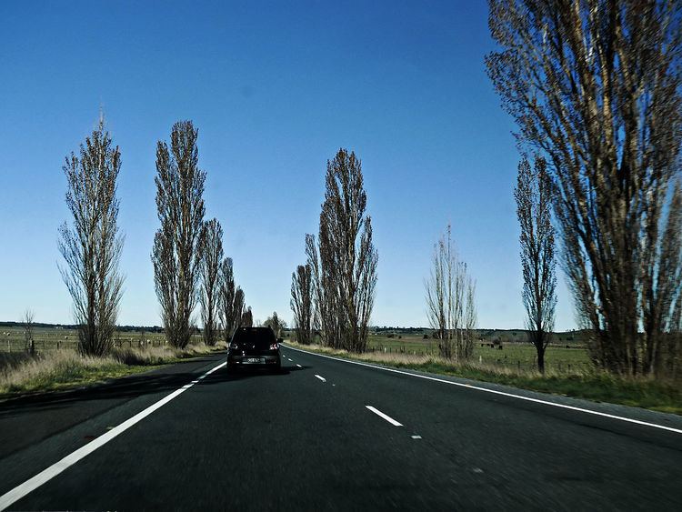
The Federal Highway is a highway in New South Wales and the Australian Capital Territory. It is a part of a motorway standard link between Sydney and Canberra, and is also the main thoroughfare between those cities.
Contents
Map of Federal Hwy, Australia
The north-eastern end of the Federal Highway is located at its junction with the Hume Highway near the city of Goulburn. It runs 72.7 km (45.2 mi) south west to Canberra, the national capital of Australia, where its south western end is located at the intersection of Northbourne Avenue and the Barton Highway. The Federal Highway passes the villages of Collector and Sutton, as well as skirting the western side of the endorheic basin containing Lake George.
Route description
The Federal Highway is a largely motorway standard roadway linking from the Hume Highway at Yarra, southeast of Goulburn, New South Wales; to Canberra in the Australian Capital Territory. It is designated as the M23 between its northern terminus and Sutton, and then as the A23 from there to its southern terminus. The roadway has a continuous 110 km/h (68 mph) speed limit within New South Wales. Within the Australian Capital Territory the posted speed limit is 100 km/h (62 mph) in rural areas and 80 km/h (50 mph) once it enters the urban area of Canberra. The entire length of the roadway is dual carriageway with 2 lanes in each direction.