
Population 402 (2011 census) Postcode(s) 2620 Local time Sunday 10:00 AM | Established 1830s Postal code 2620 Federal division Division of Eden-Monaro | |
 | ||
Weather 19°C, Wind NW at 10 km/h, 59% Humidity | ||
Gundaroo music festival
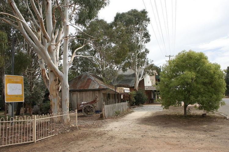
Gundaroo is a small village in the Southern Tablelands of New South Wales, Australia and in Yass Valley Council. It is situated to the east of the Yass River, about 16 kilometres (10 mi) north of Sutton, about 15 kilometres (9 mi) west of the Lake George range. At the 2011 census, Gundaroo had a population of 402, up from 331 at the previous Census in 2006.
Contents
- Gundaroo music festival
- Map of Gundaroo NSW 2620 Australia
- green acres gundaroo nsw
- World War II air crash
- References
Map of Gundaroo NSW 2620, Australia
The explorers Charles Throsby and Joseph Wild traveled through the Yass River valley in 1820. The Aborigines called the valley Candariro, meaning "blue crane". This name may have been the origin of Gundaroo, or it may mean "big waterhole". Governor Lachlan Macquarie granted the first white settler, Peter Cooney, 30 acres (12 ha) in 1825. Settlement proceeded fairly quickly and there were about 400 residents in the 1840s. The first non-residential building in Gundaroo was the Harrow Inn, built in 1834. A post office was built in 1848 and an Anglican church, St Luke's in Upper Gundaroo (now part of a pottery business), in 1849. The first school opened in 1850 and a Police Station in 1852. A major impetus for the growth in the middle of the nineteenth century was the discovery of gold in the district in 1852.
green acres gundaroo nsw
World War II air crash
On 7 December 1943, a RAAF Lockheed Ventura crashed three miles south-east of Gundaroo, killing all five crew members. A memorial to the victims was erected in the town.