
Population 662 (2011 census) Mean max temp Mean min temp Postal code 3483 | Postcode(s) 3483 Elevation 102 m Local time Thursday 6:52 PM | |
 | ||
Location 312 km (194 mi) NW of Melbourne172 km (107 mi) NW of Bendigo137 km (85 mi) NE of Horsham116 km (72 mi) SW of Swan Hill65 km (40 mi) NW of Warracknabeal Weather 36°C, Wind S at 26 km/h, 13% Humidity | ||
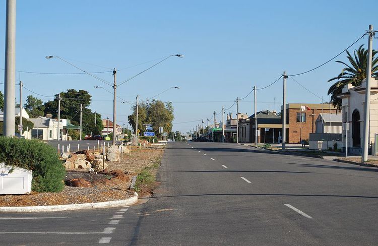
Birchip is a town in the Mallee region of Victoria, Australia on the Sunraysia Highway north of Donald. The town is located in the Shire of Buloke local government area. At the 2011 census, Birchip had a population of 662. It has a P-12 school, and an Australian rules football club called Birchip-Watchem, also known as the Birchip-Watchem Bulls, or just the "Bulls".
Map of Birchip VIC 3483, Australia
A pastoral run was established in the region named Wirmburchep and when surveyed a parish was gazetted as Wirmbirchip.
Closer settlement began in the area by then known as Wirrimbirchip around 1882 and a Post Office under that name opened on 2 July 1883 (Birchip from 1 January 1890). The town was surveyed as Birchip in 1887 though known by the inhabitants by the original name for quite some years later.
The farms in the area typically grow wheat, barley, canola, and other cereals. Some people have pig sheds, though most livestock in the district are sheep. There is a hospital which shares a lodge for elderly care.
Five main roads enter the town. It is located approximately 312 kilometres (194 mi) northwest of Victoria's capital city Melbourne. A road passes through Birchip that divides the Wimmera region of Victoria (to the south) from the Mallee region of Victoria (to the north). To travel to Birchip from Melbourne there are two preferred routes, one through Ballarat via the Sunraysia Highway and one through Bendigo via the Calder Highway. Each route's travel times are similar and the Ballarat route is more mountainous in some areas. There is an aerodrome for light aircraft.
Birchip is also home to BCG (Birchip Cropping Group), a not for profit research organisation led by farmers in the Wimmera-Mallee region of Victoria, Australia. BCG's aim is to improve the profitability and long-term viability of Mallee and Wimmera communities through research, demonstration and exchange of ideas amongst farmers and industry groups.
Official BCG website
With its neighbouring township Watchem Birchip has a football team (Birchip-Watchem) competing in the North Central Football League.
Golfers play at the Birchip Golf Club on Watson Street.
Most sport in Birchip is played at the Birchip Community Leisure Centre (BCLC). The BCLC is home to Australian rules football, netball, hockey, cricket, tennis, golf and squash. The BCLC also has one of the best function centres in country Victoria, with full bar facilities and a modern commercial kitchen which regularly caters for crowds in excess of 200 people.