
Topo map USGS Strawberry Valley Easiest route Hiking | ||
 | ||
Elevation 4828+ ft (1472+ m) NAVD 88 Similar Mount Ingalls, Mount Lola, Mount Tehama, Freel Peak, Mount Eddy | ||
Sugar Pine Peak is a mountain located in the northern Northern Sierra Nevada, in the Plumas National Forest in California.
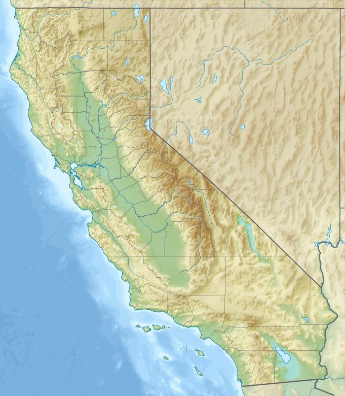
Map of Sugar Pine Peak, California, USA
The mountain rises to an elevation of about 4828+ feet (1472+ m) on the Yuba–Sierra county line.
The highest point in Yuba County is located near the summit that is in Sierra County, of this officially unnamed mountain. The peak gets snowfall during the winter.
References
Sugar Pine Peak Wikipedia(Text) CC BY-SA