
Country India Time zone IST (UTC+05:30) Elevation 145 m Owner Indian Railways | Pincode 828126 Local time Thursday 8:32 PM Platforms in use 1 | |
 | ||
Weather 32°C, Wind NW at 8 km/h, 21% Humidity | ||
Sudamdih is a village in Dhanbad District in the Indian state of Jharkhand
Contents
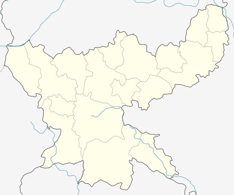
Map of Sudamdih, Pathardih, Jharkhand
Geography
Sudamdih is located at 22.65722°N 86.43536°E / 22.65722; 86.43536. Its average elevation is 146.8 m (482 ft) above Sea level. It is 18 km from Dhanbad, 5 km from Sindri, 7 km from Bhaga, 31 km from Adra, 200 km from Khargapur, 212 km from Tatanagar.
It is a developing town which comes under Bharat Cooking Coal Limited's Urban Project. The Damodar River flows along Sudamdih village and divides it from Bokaro. Trekkers and state buses are available, which connect Sudamdih to Jharia, Dhanbad, Bhaga and Sindri.
Coal mines
Various projects have been going on for utilization of coal which is present in huge amount in Dhanbad. Bharat Coking Coal Limited (BCCL) is a subsidiary of Coal India Limited with its headquarters in Dhanbad, works the Sudamdih coal mines since nationalization of coalmines in 1971. It is a more than a century old underground shaft mine and washery. Due to the presence of coal washery, the Damodar river is badly effected and polluted, making its water unusable for local community.
Transport
Sudamdih railway station is on the Jharia Coalfield rail network.