
Basin countries Canada Max. width 3 km (2 mi) Length 25 km | Max. length 25 km (16 mi) Surface elevation 246 m Width 3 km | |
 | ||
Primary inflows Inflow source Scugog River, Fenelon River | ||
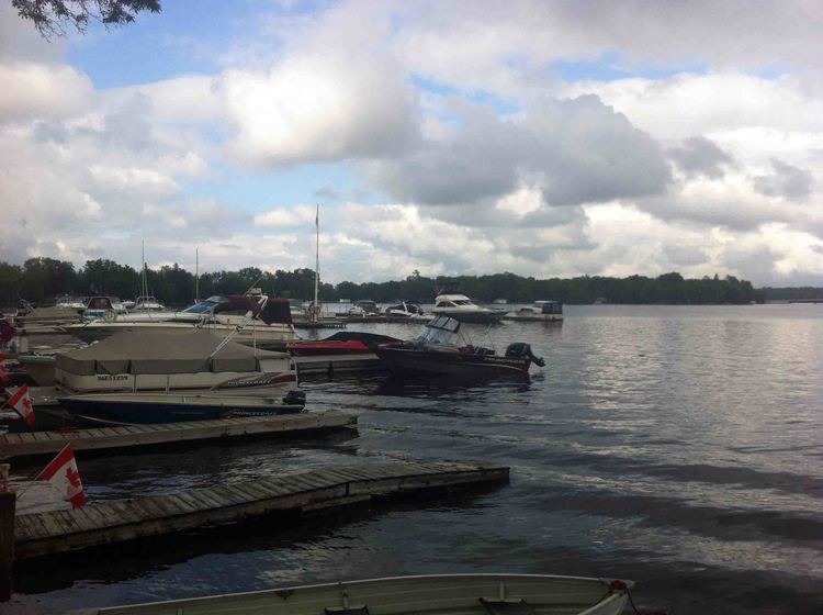
Sturgeon Lake is a lake in the Kawartha Lakes region of Ontario, Canada. It is part of the Trent-Severn Waterway. The lake is Y shaped and has the communities of Fenelon Falls, Lindsay, Sturgeon Point and Bobcaygeon at the north-west, south, central and north-east points of the Y respectively. The lake is approximately 25 km (16 mi) from the southern to the north-eastern extremes, the longer axis.
Contents
Map of Sturgeon Lake, Kawartha Lakes, ON, Canada
Inflow and OutflowEdit
The Scugog River flows into the lake at the southern apex. Cameron Lake also flows into this lake, via the Fenelon River at the north-western extreme. Emily Creek empties into the lake at the middle south.
The lake outflow is through the Big Bob and Little Bob channels of the Bobcaygeon River at the north-east of the lake.
Fish speciesEdit
Game fish species include large and small mouth bass, muskie, and walleye.