
 | ||
Strasburg Road was an early road in Pennsylvania connecting Philadelphia to Strasburg in Lancaster County. The route was surveyed by John Sellers and others in 1772-3 under the colonial administration of Governor Richard Penn and completed under the new administration of the independent state of Pennsylvania. The route started at the "second ferry" on the Schuylkill River, today's Market Street in Philadelphia, and went through West Chester, East Fallowfield Township, and Gap, before ending in Strasburg. Earlier roads travelled much the same route, including a Native American path in use as early as 1620.
Contents
Map of Strasburg Rd, Pennsylvania, USA
Earlier routes
A road following much of the same route had existed at least since the 1750s, but the area around the road only began to develop as the state constructed, or re-constructed, the road in the 1790s.
The use of wagons on this road began as early as 1714 as it developed out of the earlier Great Minquas Path. Wagons on this road were the first to be called Conestoga wagons.
A Native American path, known as the Great Minquas Path went through much of the same area as early as 1620. Confusingly, there were several branches of this path, and it and some other early roads are also called the Conestoga Path or Conestoga Road. From the Susquehannock village near the confluence of the Susquehanna and Conestoga Rivers the path travelled east to European traders and early settlers on the Delaware River. The path went east from the Conestoga to the area of the present day town of Willow Street, then Strasburg, and Gap, then entered present day Chester County. There it continued east via Atglen, Parkesburg, Mortonville, and West Chester, crossed into Delaware County and there led through Lima and Rose Valley, where it could go south to Chester or east to Darby, and finally to Philadelphia. Parts of Pennsylvania Route 741 follow the path in Lancaster County, and parts of Pennsylvania Route 162 follow the path in Chester County. These modern roads are generally named "Strasburg Road" and are connected by smaller roads carrying street signs of "Strasburg Road" or "West Strasburg Road."
East of West Chester, the Minquas Path travelled well south of Pennsylvania Route 3, the West Chester Pike, which today carries traffic between Market Street in Philadelphia and Market Street in West Chester. The name Strasburg Road is not used today east of West Chester except for a short stretch of road which branches off of the West Chester Pike going east, named "East Strasburg Road". After about a mile, this road becomes Goshen Road, which goes east to Newtown Square.
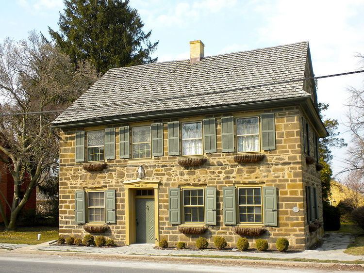
Historic buildings
Due to the commercial use of Strasburg Road during the Colonial and Early Federal periods, at least twenty-three buildings or historic districts along the road have been listed on the National Register of Historic Places in Chester County. From east to west, these are:
In Lancaster County
are located on Strasburg Road.