
Vehicle registration HO Area 26.47 km² Population 770 (1 Apr 2009) Area code 02984 | Time zone CET (UTC+1) Elevation 292 m Local time Wednesday 3:25 AM Postal code 3722 | |
 | ||
Website www.straning-grafenberg.at Weather 8°C, Wind W at 16 km/h, 59% Humidity | ||
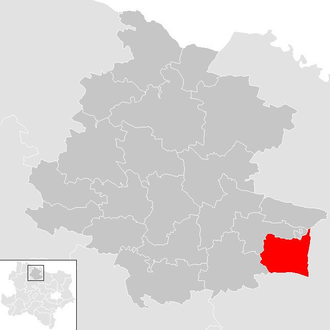
Straning-Grafenberg is a municipality in the district of Horn in Lower Austria, Austria.
Contents
Map of Gemeinde Straning-Grafenberg, Austria
Geography
Straning-Grafenberg lies on the border between the Weinviertel and the Waldviertel in Lower Austria. About 7.5 percent of the municipality is forested.
References
Straning-Grafenberg Wikipedia(Text) CC BY-SA