
Country United States Elevation 339 m Local time Friday 11:11 AM | GNIS feature ID 0478198 Area 88.06 km² Population 624 (2000) | |
 | ||
Weather 1°C, Wind NE at 16 km/h, 38% Humidity | ||
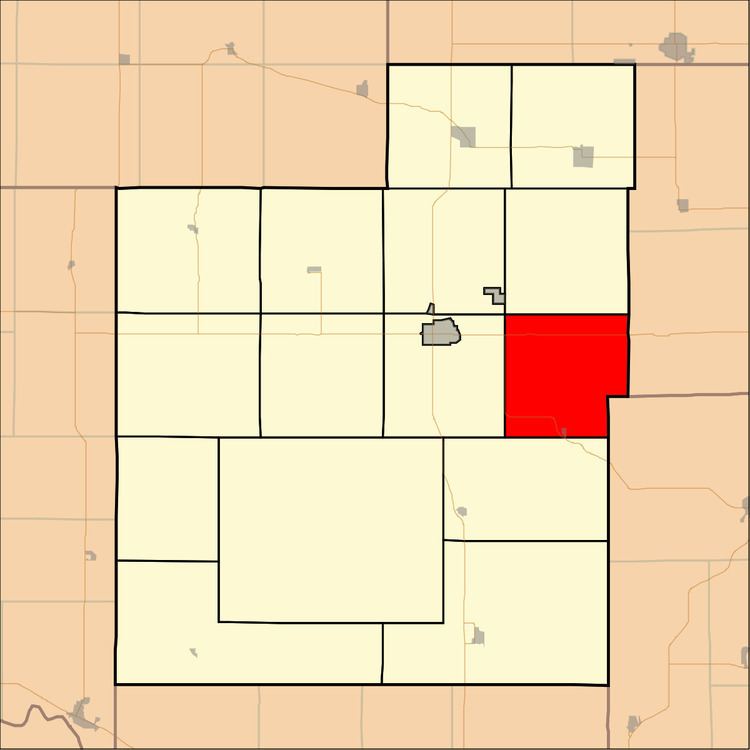
Garfield Township is a township in Jackson County, Kansas, USA. As of the 2000 census, its population was 624.
Contents
- Map of Garfield KS USA
- Geography
- Cities and towns
- Unincorporated towns
- Adjacent townships
- Major highways
- References
Map of Garfield, KS, USA
Geography
Garfield Township covers an area of 34 square miles (88.06 square kilometers); of this, 0.17 square miles (0.43 square kilometers) or 0.49 percent is water. The stream of Bills Creek runs through this township.
Cities and towns
Unincorporated towns
(This list is based on USGS data and may include former settlements.)
Adjacent townships
Major highways
References
Garfield Township, Jackson County, Kansas Wikipedia(Text) CC BY-SA