
Country United States Elevation 283 m Local time Thursday 9:39 PM | GNIS feature ID 1729699 Area 123 km² Population 292 (2010) | |
 | ||
Weather 6°C, Wind N at 26 km/h, 45% Humidity | ||
Kapioma Township is a township in Atchison County, Kansas, United States. As of the 2010 census, its population was 292.
Contents
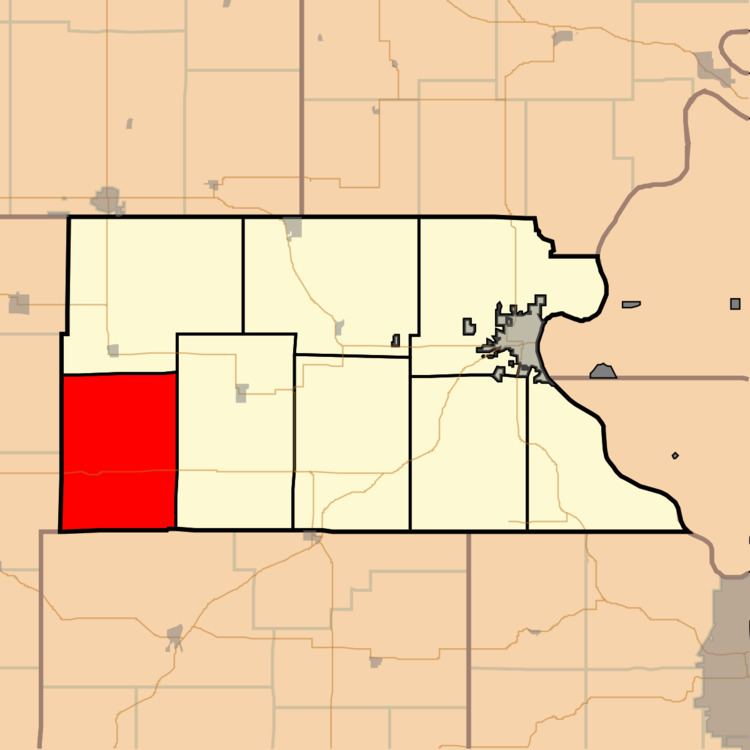
Map of Kapioma, KS, USA
History
Kapioma Township was named for a chief of the Kickapoo Indians.
Geography
Kapioma Township covers an area of 47.5 square miles (123.0 km2) and contains no incorporated settlements. According to the USGS, it contains two cemeteries: Earnst and Miller.
The streams of Catamount Creek, Elk Creek, Nebo Creek, Negro Creek and Straight Creek run through this township.
Transportation
Kapioma Township contains one airport or landing strip, Strafuss Airport.
References
Kapioma Township, Atchison County, Kansas Wikipedia(Text) CC BY-SA