
Country United States Elevation 343 m Local time Thursday 6:40 AM | GNIS feature ID 0478189 Area 86.57 km² Population 776 (2000) | |
 | ||
Weather -1°C, Wind SE at 13 km/h, 64% Humidity | ||
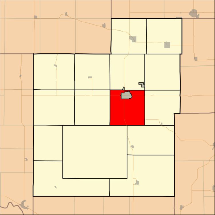
Franklin Township is a township in Jackson County, Kansas, USA. As of the 2000 census, its population was 776. The southwesternmost part of the township is located within the Prairie Band Potawatomi Indian Reservation.
Contents
- Map of Franklin KS USA
- History
- Geography
- Unincorporated towns
- Adjacent townships
- Cemeteries
- Major highways
- References
Map of Franklin, KS, USA
History
Franklin Township was formed in 1856. It was named for Ben Franklin.
Geography
Franklin Township covers an area of 33.43 square miles (86.57 square kilometers); of this, 1.1 square miles (2.84 square kilometers) or 3.28 percent is water. The stream of Banner Creek runs through this township.
Unincorporated towns
(This list is based on USGS data and may include former settlements.)
Adjacent townships
Cemeteries
The township contains two cemeteries: Bruck and Holton.
Major highways
References
Franklin Township, Jackson County, Kansas Wikipedia(Text) CC BY-SA