
Country United States Elevation 339 m Local time Tuesday 11:20 AM | GNIS feature ID 0453877 Area 51.59 km² Population 817 (2010) | |
 | ||
Weather 11°C, Wind N at 18 km/h, 92% Humidity | ||
Stoney Creek Township is one of thirteen townships in Henry County, Indiana, United States. As of the 2010 census, its population was 817 and it contained 348 housing units.
Contents
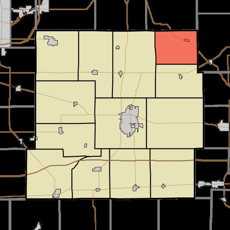
- Map of Stoney Creek Township IN USA
- Geography
- Cities and towns
- Adjacent townships
- Cemeteries
- Major highways
- Airports and landing strips
- References
Map of Stoney Creek Township, IN, USA
Stony Creek Township was organized in 1828. It was named for the stream which runs through it.
Geography
According to the 2010 census, the township has a total area of 19.92 square miles (51.6 km2), of which 19.31 square miles (50.0 km2) (or 96.94%) is land and 0.61 square miles (1.6 km2) (or 3.06%) is water.
Cities and towns
Adjacent townships
Cemeteries
The township contains two cemeteries: Hodson and Rogersville.
Major highways
Airports and landing strips
References
Stoney Creek Township, Henry County, Indiana Wikipedia(Text) CC BY-SA