
Elevation 190 m Local time Friday 2:20 PM | GNIS feature ID 453498 Area 111.2 km² Population 417 (2010) | |
 | ||
ZIP codes 47528, 47838, 47848, 47882 Weather 6°C, Wind NW at 24 km/h, 33% Humidity | ||
Jefferson Township is one of nine townships in Sullivan County, Indiana, United States. At the 2010 census, its population was 417 and it contained 234 housing units.
Contents
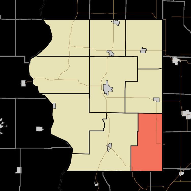
- Map of Jefferson Township IN USA
- Geography
- Unincorporated towns
- Adjacent townships
- Cemeteries
- Lakes
- School districts
- Political districts
- References
Map of Jefferson Township, IN, USA
Geography
According to the 2010 census, the township has a total area of 42.95 square miles (111.2 km2), of which 42.42 square miles (109.9 km2) (or 98.77%) is land and 0.53 square miles (1.4 km2) (or 1.23%) is water.
Unincorporated towns
(This list is based on USGS data and may include former settlements.)
Adjacent townships
Cemeteries
The township contains six cemeteries: Hale, McDade, Pirtle, Posey, Smith and Woodward.
Lakes
School districts
Political districts
References
Jefferson Township, Sullivan County, Indiana Wikipedia(Text) CC BY-SA