
Population 2,085 (2011 census) Postcode(s) 2611 Area 130 ha Postal code 2611 | Established 1970 Founded 1970 | |
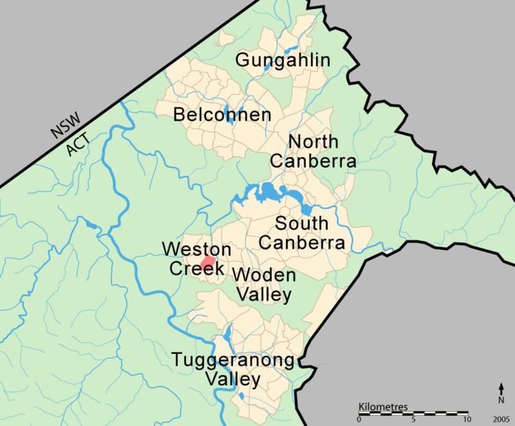 | ||
Stirling is a suburb of Canberra, Australian Capital Territory, Australia. It is located in the Weston Creek district.
Contents
Map of Stirling ACT 2611, Australia
The suburb is named after Sir James Stirling (1791–1865) who was the first Governor of Western Australia between 1829–1839 and established settlements at Perth and Fremantle in 1829. The suburb was gazetted in 1970.
Stirling contains the Weston Campus of the Canberra College, which is located on Fremantle Drive.
Geology
Deakin Volcanics red-purple and green grey rhyodacite with spherulitic texture cover most of Stirling except for Laidlaw Volcanics pale to dark grey tuff on the southernmost quarter. Quaternary Alluvium covers the south west quarter.
References
Stirling, Australian Capital Territory Wikipedia(Text) CC BY-SA