
Elevation 1 m (3 ft) Area code 0294, 0346 | Established 1 January 2011 Time zone CET (UTC+1) Area 106.8 km² | |
 | ||
Postcode 1393, 3600–3612, 3620–3622, 3626–3634 Weather 7°C, Wind N at 3 km/h, 70% Humidity | ||
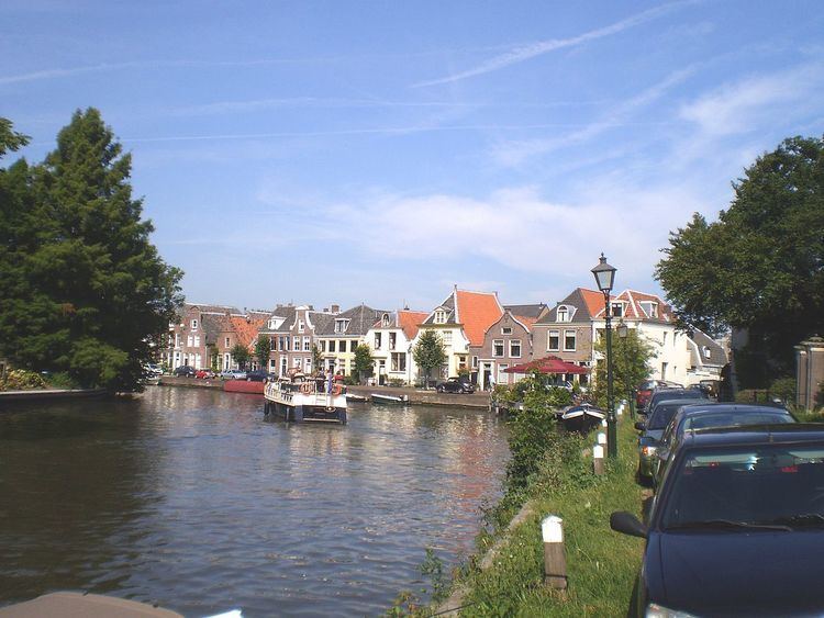
Stichtse Vecht is a municipality of the Netherlands and lies in the northwestern part of the province of Utrecht.
Contents
The municipality has about 63,000 inhabitants and covers an area of about 107 km² (41 sq mi).
Stichtse Vecht has been newly formed by a merger of the municipalities of Breukelen (in the west), Maarssen (in the east) and Loenen (in the north) on 1 January 2011.
Geography
Stichtse Vecht is situated north of the city of Utrecht, in an area called the Vechtstreek. It is located around sea level and mostly a rural area with lots of pastures.
Within its boundaries lay the Maarsseveense Plassen, which are recreational lakes. Northeast it borders the Loosdrechtse Plassen, also recreational lakes, which lay in neighbouring municipality of Wijdemeren.
The Amsterdam–Rhine Canal and the river Vecht crosses the municipality from south to north.
History
The municipality contains many stately homes (buitenplaatsen) and several castles, like Nijenrode Castle, Slot Zuylen and Huis te Mijnden.
Transportation
The A2 motorway crosses the municipality from south to north.
There are two railway stations:
Municipal council
The municipal council consists of the following parties:
Executive board
VVD, CDA, D66, ChristenUnie-SGP, Streekbelangen and Het Vechtse Verbond have formed a coalition. Together they have 22 seats. Members of the executive board are:
Mayor:
Aldermen: