
 | ||
Bridges Nescio Bridge, Amsterdamsebrug, Prins Clausbridge | ||
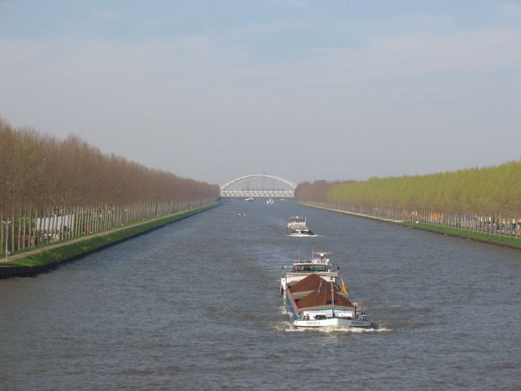
The Amsterdam–Rhine Canal or Amsterdam-Rijnkanaal is a canal in the Netherlands that was built to connect the port city of Amsterdam to the main shipping artery of the Rhine. Its course follows a generally southeasterly direction as it goes through the city of Utrecht towards Wijk bij Duurstede where it intersects the Lek branch of the Rhine and then continues on to the Waal river near Tiel, with a branch, the Lek Canal, to the Lek near Nieuwegein.
Map of Amsterdam-Rhine Canal, Netherlands
Rail bridges (with nearest train station on the west and east bank):
References
Amsterdam–Rhine Canal Wikipedia(Text) CC BY-SA