
Website www.stclaircomo.com Founded 1841 Unemployment rate 7.2% (Apr 2015) | Area 1,818 km² Population 9,487 (2013) | |
 | ||
Rivers Osage River, Weaubleau Creek, Moore Branch | ||
St. Clair County is a county located in the western portion of the U.S. state of Missouri. As of the 2010 census, the population was 9,805. Its county seat is Osceola. The county was organized in 1841 and named for General Arthur St. Clair, Governor of the Northwest Territory. St. Clair was also the 9th President of the United States in Congress Assembled. Under his Presidency, the Northwest Ordinance and United States Constitution were passed.
Contents
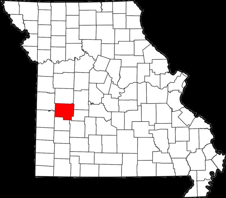
- Map of St Clair County MO USA
- Geography
- Adjacent counties
- Major highways
- Demographics
- Public schools
- Local
- State
- Federal
- Missouri Presidential Preference Primary 2008
- Cities
- Villages
- Unincorporated communities
- Townships
- References
Map of St Clair County, MO, USA
According to the April 1907 issue of The Century Magazine, for well over 30 years (dating from 1870) St. Clair County was in open rebellion against the U.S. Government- refusing to pay interest on bonds which it had issued to assist in the building of a railroad, which was never built.
Geography
According to the U.S. Census Bureau, the county has a total area of 702 square miles (1,820 km2), of which 670 square miles (1,700 km2) is land and 32 square miles (83 km2) (4.6%) is water.
Adjacent counties
Major highways
Demographics
As of the census of 2000, there were 9,652 people, 4,040 households, and 2,791 families residing in the county. The population density was 14 people per square mile (6/km²). There were 5,205 housing units at an average density of 8 per square mile (3/km²). The racial makeup of the county was 97.36% White, 0.23% Black or African American, 0.75% Native American, 0.15% Asian, 0.02% Pacific Islander, 0.29% from other races, and 1.21% from two or more races. Approximately 0.98% of the population were Hispanic or Latino of any race.
There were 4,040 households out of which 26.30% had children under the age of 18 living with them, 57.60% were married couples living together, 7.70% had a female householder with no husband present, and 30.90% were non-families. 27.40% of all households were made up of individuals and 14.80% had someone living alone who was 65 years of age or older. The average household size was 2.34 and the average family size was 2.83.
In the county, the population was spread out with 23.00% under the age of 18, 5.60% from 18 to 24, 22.90% from 25 to 44, 27.20% from 45 to 64, and 21.30% who were 65 years of age or older. The median age was 44 years. For every 100 females there were 98.60 males. For every 100 females age 18 and over, there were 94.30 males.
The median income for a household in the county was $25,321, and the median income for a family was $31,498. Males had a median income of $23,231 versus $18,351 for females. The per capita income for the county was $14,025. About 16.20% of families and 19.60% of the population were below the poverty line, including 25.30% of those under age 18 and 17.60% of those age 65 or over.
Public schools
Local
The Republican Party predominantly controls politics at the local level in St. Clair County.
State
All of St. Clair County is a part of Missouri’s 119th District in the Missouri House of Representatives and is represented by Sandy Crawford (R-Buffalo).
All of St. Clair County is a part of Missouri’s 28th District in the Missouri Senate and is currently represented by Mike Parson (R-Bolivar).
Federal
All of St. Clair County is included in Missouri’s 4th Congressional District and is currently represented by Vicky Hartzler (R-Harrisonville) in the U.S. House of Representatives.
Missouri Presidential Preference Primary (2008)
Cities
Villages
Unincorporated communities
Townships
St. Clair County is divided into 16 townships: