
 | ||
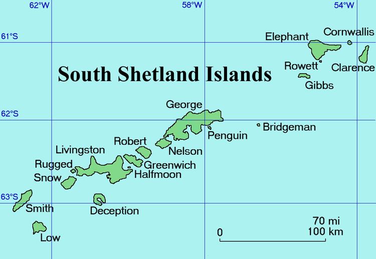
Jerez Peak (Bulgarian: връх Херес, ‘Vrah Jerez’ \'vr&h 'he-res) is the ice-covered peak rising to 1400 m at the south extremity of Ravelin Ridge on Clarence Island in the South Shetland Islands, Antarctica. It is connected to Mount Llana by Soyka Saddle, and surmounts Treskavets Glacier to the northeast and Highton Glacier to the southeast.
Contents
The peak is named after the Spanish mariner Gregorio Jerez who made the second sighting of Roché Island (South Georgia, named by him Isla San Pedro) in 1756.
Location
Jerez Peak is located at 61°13′47″S 54°06′21″W, which is 2 km north-northeast of Mount Llana and 5 km south of Humble Point. British mapping in 1972 and 2009.
Maps
References
Jerez Peak Wikipedia(Text) CC BY-SA